Manicahan night lights from space
Night Light of Manicahan (Zamboanga Peninsula) from space (Philippines) Src. Average luminocity for 10x10km area is 3.4892% and for 50x50km: 3.346%.
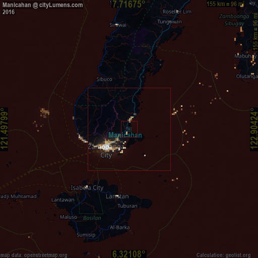
Analysis of Manicahan night lights 2016
Square area 10x10 km:
 0.22%
0.22%90-99
1.52%80-89
0.87%70-79
0%60-69
0%50-59
0%40-49
0%30-39
0%20-29
0%10-19
0.87%0-9
96.54%Square area 50x50 km:
0.22%90-99
0.67%80-89
0.47%70-79
0.4%60-69
0.42%50-59
0.29%40-49
0.47%30-39
0.43%20-29
0.49%10-19
3.3%0-9
92.83%Clear (daylight) street map image can be seen on geolist.org.
Map coordinates:
7° 43' 0.3" North, 121° 29' 52.8" East
7° 1' 10" North, 122° 12' 4" East
6° 19' 15.9" North, 122° 54' 15.3" East
Some cities around Manicahan sort by population:
• Zamboanga
18.6 km =11.6 mi,  229°
229°
• Sangali
5.6 km =3.5 mi,  0°
0°
• Mercedes
8.9 km =5.5 mi,  220°
220°
• Taluksangay
7.5 km =4.7 mi,  194°
194°
• Curuan
21 km =13 mi,  9°
9°
• Bunguiao
9.5 km =5.9 mi,  356°
356°
• Culianan
7.4 km =4.6 mi, 234°
• Bolong
9.7 km =6 mi,  25°
25°
1701688 (p: 8,337)
Sources (retrieved 2019-11-25):
» Earth at Night: Flat Maps 2012, 2016