Malingao night lights from space
Night Light of Malingao (Soccsksargen) from space (Philippines) Src. Average luminocity for 10x10km area is 0% and for 50x50km: 0.563%.
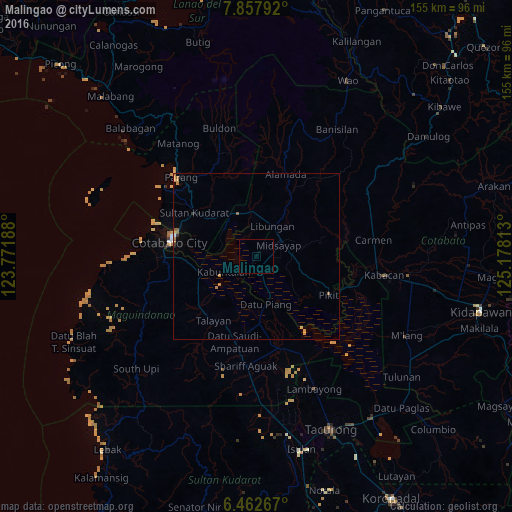
Analysis of Malingao night lights 2016
Square area 10x10 km:
 0%
0%90-99
0%80-89
0%70-79
0%60-69
0%50-59
0%40-49
0%30-39
0%20-29
0%10-19
0%0-9
100%Square area 50x50 km:
0.01%90-99
0.01%80-89
0.03%70-79
0.28%60-69
0.11%50-59
0.14%40-49
0%30-39
0.04%20-29
0.06%10-19
0.05%0-9
99.26%Clear (daylight) street map image can be seen on geolist.org.
Map coordinates:
7° 51' 28.5" North, 123° 46' 18.8" East
7° 9' 39" North, 124° 28' 30" East
6° 27' 45.6" North, 125° 10' 41.3" East
Some cities around Malingao sort by population:
• Budta
6.2 km =3.9 mi,  321°
321°
• Midsayap
7 km =4.3 mi,  61°
61°
• Pagaluñgan
10.6 km =6.6 mi,  258°
258°
• Pigcawayan
14 km =8.7 mi,  337°
337°
• Glad
4.9 km =3 mi,  106°
106°
• Libungan
10.2 km =6.3 mi,  29°
29°
• Buayan
12.7 km =7.9 mi, 28°
• Dado
12.4 km =7.7 mi,  187°
187°
1978681 (p: 1,121,974)
Sources (retrieved 2019-11-25):
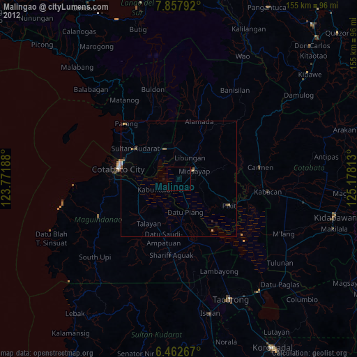
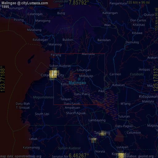
» NASA, Earths city lights 1995
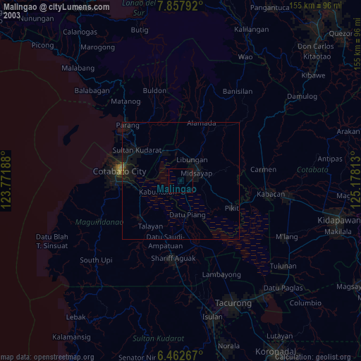
» NASA city lights 2003
» Earth at Night: Flat Maps 2012, 2016