Libungan night lights from space
Night Light of Libungan (Soccsksargen) from space (Philippines) Src. Average luminocity for 10x10km area is 0% and for 50x50km: 0.1418%.
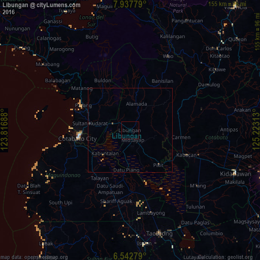
Analysis of Libungan night lights 2016
Square area 10x10 km:
 0%
0%90-99
0%80-89
0%70-79
0%60-69
0%50-59
0%40-49
0%30-39
0%20-29
0%10-19
0%0-9
100%Square area 50x50 km:
0%90-99
0%80-89
0%70-79
0.07%60-69
0.03%50-59
0.07%40-49
0%30-39
0.01%20-29
0.03%10-19
0.03%0-9
99.76%Clear (daylight) street map image can be seen on geolist.org.
Map coordinates:
7° 56' 16" North, 123° 49' 0.8" East
7° 14' 27" North, 124° 31' 12" East
6° 32' 34" North, 125° 13' 23.3" East
Some cities around Libungan sort by population:
• Budta
9.7 km =6 mi,  245°
245°
• Malingao
10.2 km =6.3 mi,  209°
209°
• Midsayap
5.7 km =3.5 mi,  168°
168°
• Pagaluñgan
18.9 km =11.7 mi,  234°
234°
• Pigcawayan
11.2 km =7 mi,  291°
291°
• Glad
10.3 km =6.4 mi,  181°
181°
• Buayan
2.5 km =1.6 mi,  24°
24°
• Dado
22.2 km =13.8 mi,  197°
197°
1706550 (p: 5,606)
Sources (retrieved 2019-11-25):
» Earth at Night: Flat Maps 2012, 2016