Budta night lights from space
Night Light of Budta (Autonomous Region in Muslim Mindanao) from space (Philippines) Src. Average luminocity for 10x10km area is 0% and for 50x50km: 1.1082%.
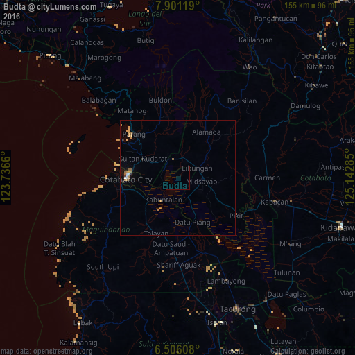
Analysis of Budta night lights 2016
Square area 10x10 km:
 0%
0%90-99
0%80-89
0%70-79
0%60-69
0%50-59
0%40-49
0%30-39
0%20-29
0%10-19
0%0-9
100%Square area 50x50 km:
0.09%90-99
0.09%80-89
0.1%70-79
0.37%60-69
0.22%50-59
0.18%40-49
0%30-39
0.15%20-29
0.08%10-19
0.15%0-9
98.57%Clear (daylight) street map image can be seen on geolist.org.
Map coordinates:
7° 54' 4.3" North, 123° 44' 11.8" East
7° 12' 15" North, 124° 26' 23" East
6° 30' 21.9" North, 125° 8' 34.3" East
Some cities around Budta sort by population:
• Malingao
6.2 km =3.9 mi,  141°
141°
• Midsayap
10.1 km =6.3 mi,  98°
98°
• Pagaluñgan
9.5 km =5.9 mi,  223°
223°
• Pigcawayan
8.3 km =5.2 mi,  349°
349°
• Dalumangcob
15.5 km =9.6 mi,  275°
275°
• Glad
10.6 km =6.6 mi,  125°
125°
• Libungan
9.7 km =6 mi,  65°
65°
• Buayan
11.7 km =7.3 mi,  57°
57°
1723510 (p: 1,273,715)
Sources (retrieved 2019-11-25):
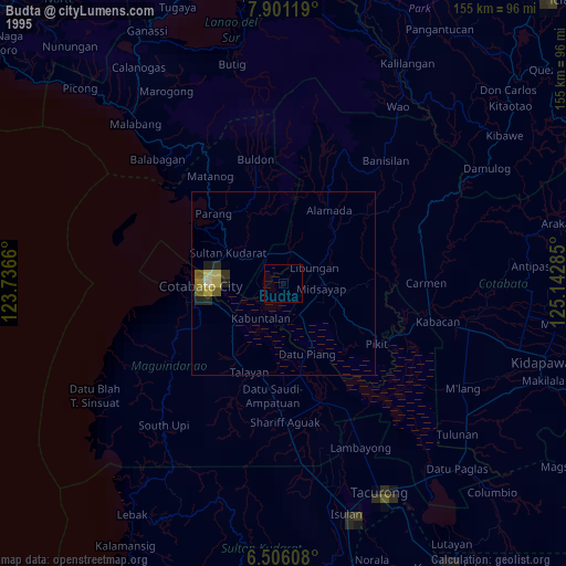
» NASA, Earths city lights 1995
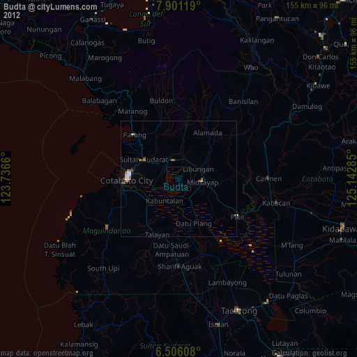
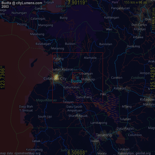
» NASA city lights 2003
» Earth at Night: Flat Maps 2012, 2016