Magapit night lights from space
Night Light of Magapit (Cagayan Valley) from space (Philippines) Src. Average luminocity for 10x10km area is 0% and for 50x50km: 0.0885%.
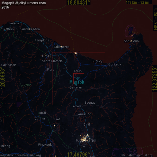
Analysis of Magapit night lights 2016
Square area 10x10 km:
 0%
0%90-99
0%80-89
0%70-79
0%60-69
0%50-59
0%40-49
0%30-39
0%20-29
0%10-19
0%0-9
100%Square area 50x50 km:
0%90-99
0%80-89
0%70-79
0.02%60-69
0.04%50-59
0.01%40-49
0.03%30-39
0.03%20-29
0.05%10-19
0.03%0-9
99.79%Clear (daylight) street map image can be seen on geolist.org.
Map coordinates:
18° 48' 15.5" North, 120° 57' 58.7" East
18° 8' 14.7" North, 121° 40' 9.9" East
17° 28' 4.7" North, 122° 22' 21.2" East
Some cities around Magapit sort by population:
• Aparri
24.6 km =15.3 mi,  352°
352°
• Cabaritan East
36.6 km =22.7 mi,  328°
328°
• Bauan
46.1 km =28.6 mi,  178°
178°
• Gonzaga
37 km =23 mi,  68°
68°
• Lasam
10.8 km =6.7 mi,  222°
222°
• Dassun
43.8 km =27.2 mi,  174°
174°
• Piat
43.6 km =27.1 mi,  207°
207°
• Ballesteros
34.7 km =21.6 mi, 331°
1704013 (p: 11,235)
Sources (retrieved 2019-11-25):
» Earth at Night: Flat Maps 2012, 2016