Ballesteros night lights from space
Night Light of Ballesteros (Cagayan Valley) from space (Philippines) Src. Average luminocity for 10x10km area is 0.9483% and for 50x50km: 0.1353%.
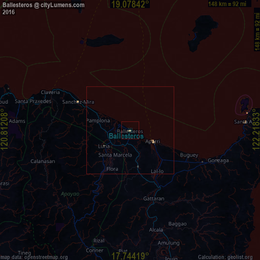
Analysis of Ballesteros night lights 2016
Square area 10x10 km:
 0%
0%90-99
0%80-89
0%70-79
0.83%60-69
0%50-59
0%40-49
0%30-39
0.83%20-29
0%10-19
0%0-9
98.35%Square area 50x50 km:
0%90-99
0%80-89
0%70-79
0.05%60-69
0.04%50-59
0.01%40-49
0.03%30-39
0.1%20-29
0.03%10-19
0.03%0-9
99.71%Clear (daylight) street map image can be seen on geolist.org.
Map coordinates:
19° 4' 42.3" North, 120° 48' 43.5" East
18° 24' 45.4" North, 121° 30' 54.7" East
17° 44' 39.1" North, 122° 13' 6" East
Some cities around Ballesteros sort by population:
• Aparri
14.6 km =9.1 mi,  115°
115°
• Magapit, Aguiguican
37.9 km =23.5 mi,  153°
153°
• Magapit
34.7 km =21.6 mi, 151°
• Claveria
50.4 km =31.3 mi,  295°
295°
• Cabaritan East
2.9 km =1.8 mi,  281°
281°
• Gonzaga
53.4 km =33.2 mi,  108°
108°
• Lasam
39.7 km =24.7 mi,  166°
166°
• Santa Ana
67 km =41.6 mi,  84°
84°
1727962 (p: 5,591)
Sources (retrieved 2019-11-25):
» Earth at Night: Flat Maps 2012, 2016