Lasam night lights from space
Night Light of Lasam (Cagayan Valley) from space (Philippines) Src. Average luminocity for 10x10km area is 0% and for 50x50km: 0.0106%.
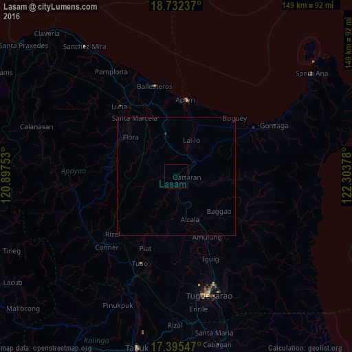
Analysis of Lasam night lights 2016
Square area 10x10 km:
 0%
0%90-99
0%80-89
0%70-79
0%60-69
0%50-59
0%40-49
0%30-39
0%20-29
0%10-19
0%0-9
100%Square area 50x50 km:
0%90-99
0%80-89
0%70-79
0%60-69
0%50-59
0%40-49
0%30-39
0.02%20-29
0.01%10-19
0%0-9
99.97%Clear (daylight) street map image can be seen on geolist.org.
Map coordinates:
18° 43' 56.5" North, 120° 53' 51.1" East
18° 3' 54.7" North, 121° 36' 2.3" East
17° 23' 43.7" North, 122° 18' 13.6" East
Some cities around Lasam sort by population:
• Aparri
32.7 km =20.3 mi,  7°
7°
• Magapit, Aguiguican
9.4 km =5.8 mi,  59°
59°
• Magapit
10.8 km =6.7 mi,  42°
42°
• Cabaritan East
41 km =25.5 mi,  343°
343°
• Bauan
39 km =24.2 mi,  167°
167°
• Dassun
37.5 km =23.3 mi,  161°
161°
• Piat
33.2 km =20.6 mi,  203°
203°
• Ballesteros
39.7 km =24.7 mi,  346°
346°
1707204 (p: 6,352)
Sources (retrieved 2019-11-25):
» Earth at Night: Flat Maps 2012, 2016