Aparri night lights from space
Night Light of Aparri (Cagayan Valley) from space (Philippines) Src. Average luminocity for 10x10km area is 1.9029% and for 50x50km: 0.1226%.
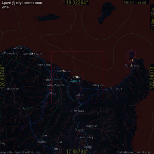
Analysis of Aparri night lights 2016
Square area 10x10 km:
 0%
0%90-99
0%80-89
0%70-79
0.41%60-69
1.03%50-59
0.21%40-49
0.83%30-39
0.21%20-29
0.62%10-19
0.83%0-9
95.87%Square area 50x50 km:
0%90-99
0%80-89
0%70-79
0.05%60-69
0.04%50-59
0.01%40-49
0.03%30-39
0.06%20-29
0.03%10-19
0.03%0-9
99.74%Clear (daylight) street map image can be seen on geolist.org.
Map coordinates:
19° 1' 21.5" North, 120° 56' 14.9" East
18° 21' 23.8" North, 121° 38' 26.2" East
17° 41' 16.7" North, 122° 20' 37.4" East
Some cities around Aparri sort by population:
• Magapit, Aguiguican
27.9 km =17.3 mi,  172°
172°
• Magapit
24.6 km =15.3 mi, 172°
• Claveria
65.1 km =40.5 mi,  295°
295°
• Cabaritan East
17.4 km =10.8 mi,  293°
293°
• Gonzaga
38.9 km =24.2 mi,  106°
106°
• Lasam
32.7 km =20.3 mi,  187°
187°
• Santa Ana
55 km =34.2 mi,  76°
76°
• Ballesteros
14.6 km =9.1 mi, 295°
1730398 (p: 33,230)
Sources (retrieved 2019-11-25):
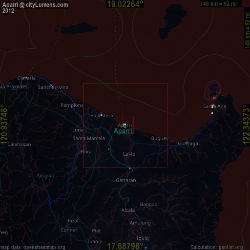
» Earth at Night: Flat Maps 2012, 2016