Lu-uk night lights from space
Night Light of Lu-uk (Autonomous Region in Muslim Mindanao) from space (Philippines) Src. Average luminocity for 10x10km area is 0% and for 50x50km: 0.0462%.
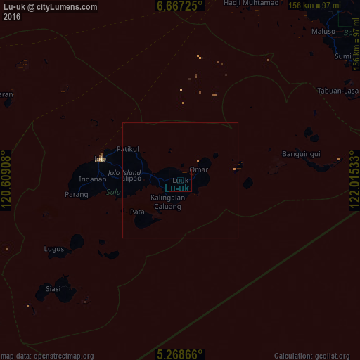
Analysis of Lu-uk night lights 2016
Square area 10x10 km:
 0%
0%90-99
0%80-89
0%70-79
0%60-69
0%50-59
0%40-49
0%30-39
0%20-29
0%10-19
0%0-9
100%Square area 50x50 km:
0%90-99
0%80-89
0%70-79
0%60-69
0.07%50-59
0%40-49
0%30-39
0%20-29
0%10-19
0%0-9
99.93%Clear (daylight) street map image can be seen on geolist.org.
Map coordinates:
6° 40' 2.1" North, 120° 36' 32.7" East
5° 58' 6.2" North, 121° 18' 43.9" East
5° 16' 7.2" North, 122° 0' 55.2" East
Some cities around Lu-uk sort by population:
• Jolo
35.5 km =22.1 mi,  285°
285°
• Kansipati
9.3 km =5.8 mi, 292°
• Anuling
34.6 km =21.5 mi,  282°
282°
• Karungdong
10.8 km =6.7 mi,  210°
210°
• Kulase
39.9 km =24.8 mi,  259°
259°
• Punay
12.6 km =7.8 mi,  266°
266°
• Talipaw
24.9 km =15.5 mi,  254°
254°
• Kajatian
36.1 km =22.4 mi, 281°
1704881 (p: 9,558)
Sources (retrieved 2019-11-25):
» Earth at Night: Flat Maps 2012, 2016