Kulase night lights from space
Night Light of Kulase (Autonomous Region in Muslim Mindanao) from space (Philippines) Src. Average luminocity for 10x10km area is 0% and for 50x50km: 0.2707%.
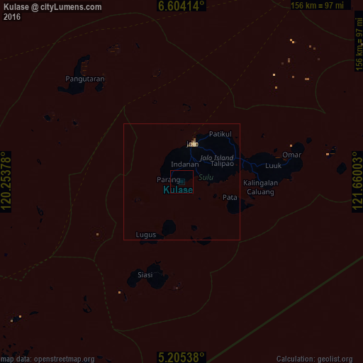
Analysis of Kulase night lights 2016
Square area 10x10 km:
 0%
0%90-99
0%80-89
0%70-79
0%60-69
0%50-59
0%40-49
0%30-39
0%20-29
0%10-19
0%0-9
100%Square area 50x50 km:
0%90-99
0%80-89
0.07%70-79
0.03%60-69
0.03%50-59
0.07%40-49
0.18%30-39
0.03%20-29
0%10-19
0%0-9
99.59%Clear (daylight) street map image can be seen on geolist.org.
Map coordinates:
6° 36' 14.9" North, 120° 15' 13.6" East
5° 54' 18.7" North, 120° 57' 24.8" East
5° 12' 19.4" North, 121° 39' 36.1" East
Some cities around Kulase sort by population:
• Jolo
17.1 km =10.6 mi,  17°
17°
• Kansipati
32.5 km =20.2 mi,  70°
70°
• Anuling
15.5 km =9.6 mi, 20°
• Parang
5.8 km =3.6 mi,  279°
279°
• Lugus
27 km =16.8 mi,  213°
213°
• Punay
27.4 km =17 mi,  76°
76°
• Talipaw
15.2 km =9.4 mi,  87°
87°
• Kajatian
14.5 km =9 mi, 15°
1957824 (p: 7,148)
Sources (retrieved 2019-11-25):
» Earth at Night: Flat Maps 2012, 2016