Anuling night lights from space
Night Light of Anuling (Autonomous Region in Muslim Mindanao) from space (Philippines) Src. Average luminocity for 10x10km area is 6.3471% and for 50x50km: 0.2707%.
Analysis of Anuling night lights 2016
Square area 10x10 km:
 0%
0%90-99
0%80-89
1.65%70-79
0.83%60-69
0.83%50-59
1.65%40-49
4.34%30-39
0.62%20-29
0%10-19
0%0-9
90.08%Square area 50x50 km:
0%90-99
0%80-89
0.07%70-79
0.03%60-69
0.03%50-59
0.07%40-49
0.18%30-39
0.03%20-29
0%10-19
0%0-9
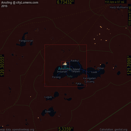
99.59%Clear (daylight) street map image can be seen on geolist.org.
Map coordinates:
6° 44' 3.6" North, 120° 18' 12.8" East
6° 2' 8" North, 121° 0' 24" East
5° 20' 9.2" North, 121° 42' 35.3" East
Some cities around Anuling sort by population:
• Jolo
1.9 km =1.2 mi,  345°
345°
• Kansipati
25.5 km =15.8 mi,  98°
98°
• Parang
17.6 km =10.9 mi,  219°
219°
• Karungdong
33 km =20.5 mi,  120°
120°
• Kulase
15.5 km =9.6 mi,  200°
200°
• Punay
22.7 km =14.1 mi,  111°
111°
• Talipaw
17 km =10.6 mi,  145°
145°
• Kajatian
1.7 km =1.1 mi,  253°
253°
1730468 (p: 10,039)
Sources (retrieved 2019-11-25):
» Earth at Night: Flat Maps 2012, 2016