Jolo night lights from space
Night Light of Jolo (Autonomous Region in Muslim Mindanao) from space (Philippines) Src. Average luminocity for 10x10km area is 6.4793% and for 50x50km: 0.2707%.
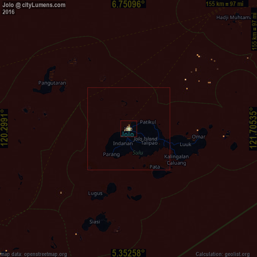
Analysis of Jolo night lights 2016
Square area 10x10 km:
 0%
0%90-99
0%80-89
1.65%70-79
0.83%60-69
0.83%50-59
1.65%40-49
4.34%30-39
0.62%20-29
0%10-19
0%0-9
90.08%Square area 50x50 km:
0%90-99
0%80-89
0.07%70-79
0.03%60-69
0.03%50-59
0.07%40-49
0.18%30-39
0.03%20-29
0%10-19
0%0-9
99.59%Clear (daylight) street map image can be seen on geolist.org.
Map coordinates:
6° 45' 3.5" North, 120° 17' 56.8" East
6° 3' 8" North, 121° 0' 8" East
5° 21' 9.3" North, 121° 42' 19.3" East
Some cities around Jolo sort by population:
• Kansipati
26.3 km =16.3 mi,  102°
102°
• Anuling
1.9 km =1.2 mi,  165°
165°
• Parang
18.7 km =11.6 mi,  214°
214°
• Karungdong
34.3 km =21.3 mi,  122°
122°
• Kulase
17.1 km =10.6 mi,  197°
197°
• Punay
23.9 km =14.9 mi, 115°
• Talipaw
18.8 km =11.7 mi,  147°
147°
• Kajatian
2.6 km =1.6 mi, 205°
1710141 (p: 101,002)
Sources (retrieved 2019-11-25):
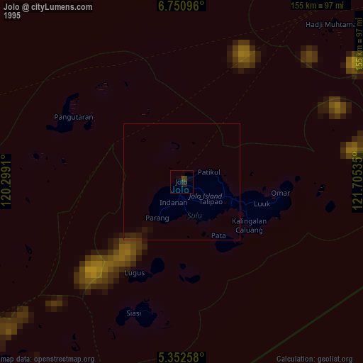
» NASA, Earths city lights 1995
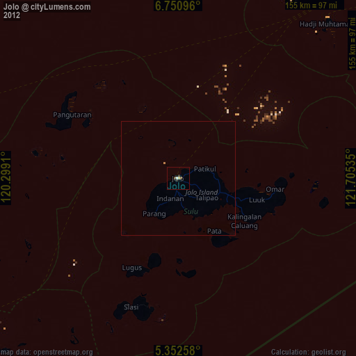
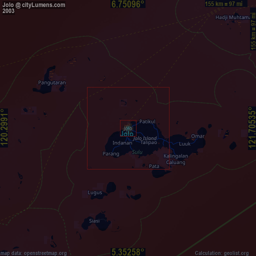
» NASA city lights 2003
» Earth at Night: Flat Maps 2012, 2016