Kalamansig night lights from space
Night Light of Kalamansig (Soccsksargen) from space (Philippines) Src. Average luminocity for 10x10km area is 2.6537% and for 50x50km: 0.957%.
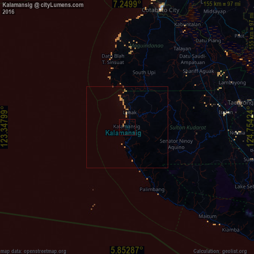
Analysis of Kalamansig night lights 2016
Square area 10x10 km:
 0%
0%90-99
0%80-89
0%70-79
0%60-69
3.46%50-59
0%40-49
0%30-39
0%20-29
0%10-19
0%0-9
96.54%Square area 50x50 km:
0%90-99
0.03%80-89
0.03%70-79
0.36%60-69
0.58%50-59
0.07%40-49
0%30-39
0%20-29
0.02%10-19
0.02%0-9
98.89%Clear (daylight) street map image can be seen on geolist.org.
Map coordinates:
7° 14' 59.6" North, 123° 20' 52.8" East
6° 33' 6.7" North, 124° 3' 4" East
5° 51' 10.3" North, 124° 45' 15.3" East
Some cities around Kalamansig sort by population:
• Laguilayan
54 km =33.6 mi,  75°
75°
• Maganoy
55.4 km =34.4 mi,  51°
51°
• South Upi
33.1 km =20.6 mi,  19°
19°
• Upi
54.2 km =33.7 mi,  13°
13°
• Esperanza
55.1 km =34.2 mi,  69°
69°
• Bantogon
2.8 km =1.7 mi,  223°
223°
• Puloypuloy
10.5 km =6.5 mi,  28°
28°
• Kauran
53.6 km =33.3 mi,  59°
59°
1709717 (p: 12,821)
Sources (retrieved 2019-11-25):
» Earth at Night: Flat Maps 2012, 2016