Bantogon night lights from space
Night Light of Bantogon (Soccsksargen) from space (Philippines) Src. Average luminocity for 10x10km area is 1.9892% and for 50x50km: 0.9153%.
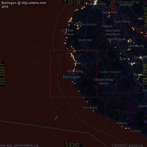
Analysis of Bantogon night lights 2016
Square area 10x10 km:
 0%
0%90-99
0%80-89
0%70-79
0%60-69
2.6%50-59
0%40-49
0%30-39
0%20-29
0%10-19
0%0-9
97.4%Square area 50x50 km:
0%90-99
0.03%80-89
0.03%70-79
0.36%60-69
0.55%50-59
0.05%40-49
0%30-39
0%20-29
0.02%10-19
0.02%0-9
98.94%Clear (daylight) street map image can be seen on geolist.org.
Map coordinates:
7° 13' 53" North, 123° 19' 48.8" East
6° 31' 60" North, 124° 1' 60" East
5° 50' 3.5" North, 124° 44' 11.3" East
Some cities around Bantogon sort by population:
• Laguilayan
56.4 km =35 mi,  74°
74°
• Maganoy
58.2 km =36.2 mi,  50°
50°
• Kalamansig
2.8 km =1.7 mi,  43°
43°
• South Upi
35.8 km =22.2 mi,  21°
21°
• Upi
56.7 km =35.2 mi, 15°
• Esperanza
57.7 km =35.9 mi, 68°
• Puloypuloy
13.3 km =8.3 mi,  31°
31°
• Kauran
56.3 km =35 mi,  58°
58°
1726977 (p: 5,379)
Sources (retrieved 2019-11-25):
» Earth at Night: Flat Maps 2012, 2016