Infanta night lights from space
Night Light of Infanta (Calabarzon) from space (Philippines) Src. Average luminocity for 10x10km area is 1.7479% and for 50x50km: 0.0739%.
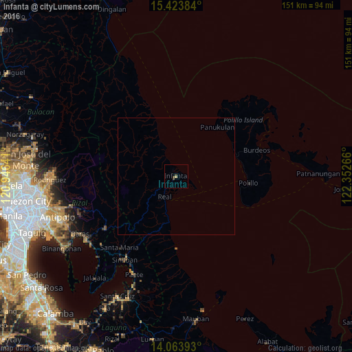
Analysis of Infanta night lights 2016
Square area 10x10 km:
 0%
0%90-99
0%80-89
0%70-79
0.83%60-69
0%50-59
0%40-49
1.65%30-39
0.83%20-29
0%10-19
0%0-9
96.69%Square area 50x50 km:
0%90-99
0%80-89
0%70-79
0.03%60-69
0%50-59
0%40-49
0.07%30-39
0.03%20-29
0%10-19
0%0-9
99.87%Clear (daylight) street map image can be seen on geolist.org.
Map coordinates:
15° 25' 25.8" North, 120° 56' 47.1" East
14° 44' 41.8" North, 121° 38' 58.3" East
14° 3' 50.1" North, 122° 21' 9.6" East
Some cities around Infanta sort by population:
• Sampaloc
38.6 km =24 mi,  233°
233°
• Pangil
42.9 km =26.7 mi,  207°
207°
• Mabitac
42.7 km =26.5 mi, 213°
• Real
10.2 km =6.3 mi, 208°
• Dinahican
7.9 km =4.9 mi,  113°
113°
• Santa Maria
38.6 km =24 mi,  218°
218°
• Polillo
32.3 km =20.1 mi,  95°
95°
• Bantilan
2.6 km =1.6 mi,  55°
55°
1710745 (p: 5,321)
Sources (retrieved 2019-11-25):
» Earth at Night: Flat Maps 2012, 2016