Dipolog night lights from space
Night Light of Dipolog (Zamboanga Peninsula) from space (Philippines) Src. Average luminocity for 10x10km area is 6.1942% and for 50x50km: 0.9902%.
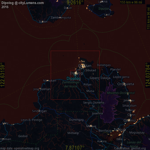
Analysis of Dipolog night lights 2016
Square area 10x10 km:
 0%
0%90-99
0.41%80-89
2.07%70-79
0%60-69
2.27%50-59
0.21%40-49
1.65%30-39
1.65%20-29
0%10-19
0.83%0-9
90.91%Square area 50x50 km:
0%90-99
0.08%80-89
0.22%70-79
0.11%60-69
0.18%50-59
0.13%40-49
0.25%30-39
0.25%20-29
0.13%10-19
0.08%0-9
98.59%Clear (daylight) street map image can be seen on geolist.org.
Map coordinates:
9° 15' 41.8" North, 122° 37' 53.7" East
8° 34' 1.1" North, 123° 20' 5" East
7° 52' 15.9" North, 124° 2' 16.2" East
Some cities around Dipolog sort by population:
• Dapitan
13.8 km =8.6 mi,  44°
44°
• Mahayag
51.4 km =31.9 mi,  166°
166°
• Manukan
26.1 km =16.2 mi,  261°
261°
• Langcangan
47.3 km =29.4 mi,  101°
101°
• Olingan
3.5 km =2.2 mi,  204°
204°
• Calamba
33.9 km =21.1 mi,  91°
91°
• Ponot
36.7 km =22.8 mi,  249°
249°
• Dumingag
44.3 km =27.5 mi,  177°
177°
1714674 (p: 93,549)
Sources (retrieved 2019-11-25):
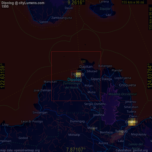
» NASA, Earths city lights 1995
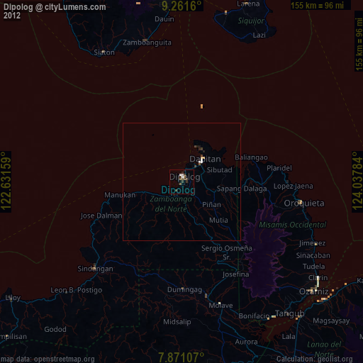
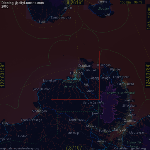
» NASA city lights 2003
» Earth at Night: Flat Maps 2012, 2016