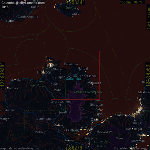
Calamba night lights from space
Night Light of Calamba (Northern Mindanao) from space (Philippines) Src. Average luminocity for 10x10km area is 0% and for 50x50km: 0.5059%.
Analysis of Calamba night lights 2016
Square area 10x10 km:
 0%
0%90-99
0%80-89
0%70-79
0%60-69
0%50-59
0%40-49
0%30-39
0%20-29
0%10-19
0%0-9
100%Square area 50x50 km:
0%90-99
0.05%80-89
0.07%70-79
0.03%60-69
0.05%50-59
0.1%40-49
0.14%30-39
0.25%20-29
0.08%10-19
0.1%0-9
99.12%Clear (daylight) street map image can be seen on geolist.org.
Map coordinates:
9° 15' 12" North, 122° 56' 21.8" East
8° 33' 31.3" North, 123° 38' 33" East
7° 51' 46" North, 124° 20' 44.3" East
Some cities around Calamba sort by population:
• Dipolog
33.9 km =21.1 mi,  271°
271°
• Ozamiz City
50.6 km =31.4 mi,  154°
154°
• Dapitan
26.5 km =16.5 mi,  294°
294°
• Oroquieta
19.6 km =12.2 mi,  114°
114°
• Langcangan
15.3 km =9.5 mi,  125°
125°
• Olingan
35.4 km =22 mi, 266°
• Clarin
46.2 km =28.7 mi, 149°
• Jimenez
32.8 km =20.4 mi,  138°
138°
1720684 (p: 6,738)
Sources (retrieved 2019-11-25):
» Earth at Night: Flat Maps 2012, 2016