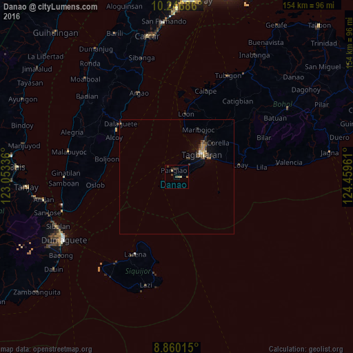
Danao night lights from space
Night Light of Danao (Central Visayas) from space (Philippines) Src. Average luminocity for 10x10km area is 4.9286% and for 50x50km: 1.4144%.
Analysis of Danao night lights 2016
Square area 10x10 km:
 0%
0%90-99
0%80-89
1.73%70-79
0%60-69
1.73%50-59
0%40-49
1.3%30-39
3.03%20-29
0.87%10-19
0%0-9
91.34%Square area 50x50 km:
0.06%90-99
0.04%80-89
0.17%70-79
0.12%60-69
0.46%50-59
0.15%40-49
0.31%30-39
0.36%20-29
0.4%10-19
0.53%0-9
97.41%Clear (daylight) street map image can be seen on geolist.org.
Map coordinates:
10° 14' 48.7" North, 123° 3' 12.1" East
9° 33' 15.2" North, 123° 45' 23.3" East
8° 51' 36.5" North, 124° 27' 34.6" East
Some cities around Danao sort by population:
• Tagbilaran City
15.4 km =9.6 mi,  42°
42°
• Loboc
31.9 km =19.8 mi,  72°
72°
• Loon
27.6 km =17.1 mi,  8°
8°
• Bogo
39.7 km =24.7 mi,  327°
327°
• Dalaguete
33.5 km =20.8 mi,  313°
313°
• Panglao
2.9 km =1.8 mi,  336°
336°
• Argao
40.2 km =25 mi, 334°
• Obong
34.1 km =21.2 mi, 307°
1715812 (p: 17,716)
Sources (retrieved 2019-11-25):
» Earth at Night: Flat Maps 2012, 2016