Dalaguete night lights from space
Night Light of Dalaguete (Central Visayas) from space (Philippines) Src. Average luminocity for 10x10km area is 2.8571% and for 50x50km: 0.3622%.
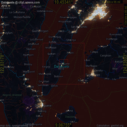
Analysis of Dalaguete night lights 2016
Square area 10x10 km:
 0%
0%90-99
0%80-89
1.73%70-79
0%60-69
0.87%50-59
0%40-49
0.22%30-39
0.65%20-29
0.87%10-19
0%0-9
95.67%Square area 50x50 km:
0%90-99
0%80-89
0.13%70-79
0.02%60-69
0.05%50-59
0.03%40-49
0.14%30-39
0.18%20-29
0.08%10-19
0.07%0-9
99.3%Clear (daylight) street map image can be seen on geolist.org.
Map coordinates:
10° 27' 12.3" North, 122° 49' 54.4" East
9° 45' 40.3" North, 123° 32' 5.6" East
9° 4' 3.2" North, 124° 14' 16.9" East
Some cities around Dalaguete sort by population:
• Sibonga
29.8 km =18.5 mi,  17°
17°
• Loon
28.6 km =17.8 mi,  81°
81°
• Bogo
11.1 km =6.9 mi, 16°
• Moalboal
25.1 km =15.6 mi,  323°
323°
• Madridejos
20.9 km =13 mi,  279°
279°
• Argao
14.7 km =9.1 mi,  26°
26°
• Mantalongon
9.7 km =6 mi,  304°
304°
• Obong
3.6 km =2.2 mi,  230°
230°
1716107 (p: 8,135)
Sources (retrieved 2019-11-25):
» Earth at Night: Flat Maps 2012, 2016