Ibabang Tayuman night lights from space
Night Light of Ibabang Tayuman (Calabarzon) from space (Philippines) Src. Average luminocity for 10x10km area is 0.0124% and for 50x50km: 0.116%.
Analysis of Ibabang Tayuman night lights 2016
Square area 10x10 km:
 0%
0%90-99
0%80-89
0%70-79
0%60-69
0%50-59
0%40-49
0%30-39
0%20-29
0%10-19
0%0-9
100%Square area 50x50 km:
0%90-99
0%80-89
0%70-79
0.03%60-69
0%50-59
0%40-49
0.06%30-39
0.14%20-29
0.03%10-19
0%0-9
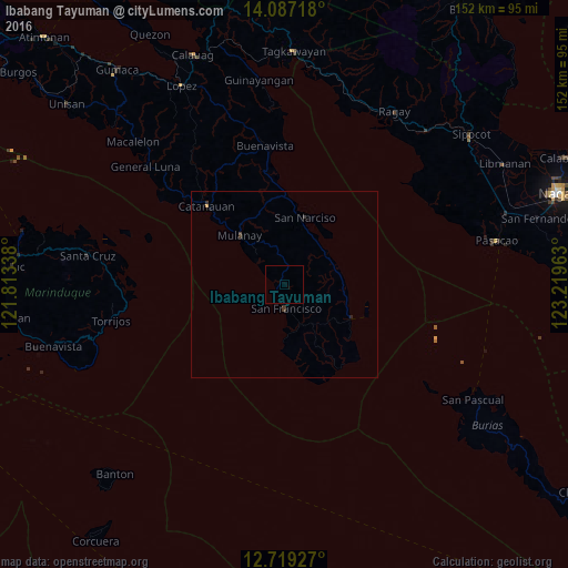
99.74%Clear (daylight) street map image can be seen on geolist.org.
Map coordinates:
14° 5' 13.8" North, 121° 48' 48.2" East
13° 24' 15.1" North, 122° 30' 59.4" East
12° 43' 9.4" North, 123° 13' 10.7" East
Some cities around Ibabang Tayuman sort by population:
• Aurora
6.3 km =3.9 mi,  177°
177°
• Pagsañgahan
21.1 km =13.1 mi,  172°
172°
• San Narciso
19 km =11.8 mi,  16°
16°
• Mulanay
17.9 km =11.1 mi,  317°
317°
• Camp Flora
17 km =10.6 mi,  110°
110°
• Yuni
3.6 km =2.2 mi,  284°
284°
• Cawayan
4.2 km =2.6 mi,  190°
190°
• San Andres
19.7 km =12.2 mi,  117°
117°
1711416 (p: 5,276)
Sources (retrieved 2019-11-25):
» Earth at Night: Flat Maps 2012, 2016