San Narciso night lights from space
Night Light of San Narciso (Calabarzon) from space (Philippines) Src. Average luminocity for 10x10km area is 0.4463% and for 50x50km: 0.0638%.
Analysis of San Narciso night lights 2016
Square area 10x10 km:
 0%
0%90-99
0%80-89
0%70-79
0%60-69
0%50-59
0%40-49
0%30-39
0.83%20-29
0%10-19
0%0-9
99.17%Square area 50x50 km:
0%90-99
0%80-89
0%70-79
0%60-69
0%50-59
0%40-49
0.04%30-39
0.11%20-29
0%10-19
0%0-9
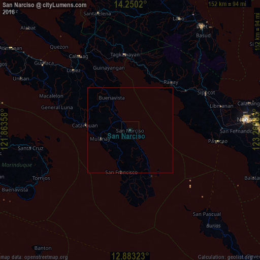
99.85%Clear (daylight) street map image can be seen on geolist.org.
Map coordinates:
14° 15' 0.7" North, 121° 51' 48.9" East
13° 34' 3.7" North, 122° 34' 0.1" East
12° 52' 59.6" North, 123° 16' 11.4" East
Some cities around San Narciso sort by population:
• Catanauan
26.6 km =16.5 mi,  275°
275°
• Aurora
25 km =15.5 mi,  191°
191°
• Mulanay
18.3 km =11.4 mi,  253°
253°
• Cambuga
13.7 km =8.5 mi,  293°
293°
• Camp Flora
26.3 km =16.3 mi,  156°
156°
• Yuni
19.4 km =12.1 mi,  207°
207°
• Cawayan
23.1 km =14.4 mi,  195°
195°
• Ibabang Tayuman
19 km =11.8 mi, 196°
1688913 (p: 11,118)
Sources (retrieved 2019-11-25):
» Earth at Night: Flat Maps 2012, 2016