Cabagan night lights from space
Night Light of Cabagan (Cagayan Valley) from space (Philippines) Src. Average luminocity for 10x10km area is 0.3595% and for 50x50km: 0.699%.
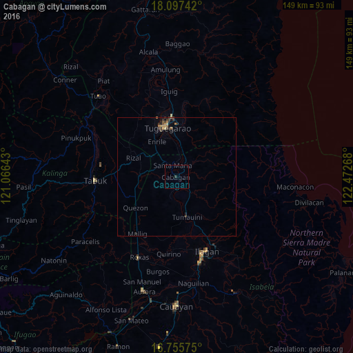
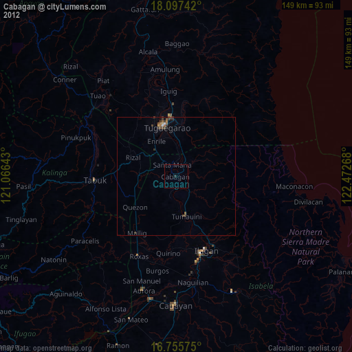
Analysis of Cabagan night lights 2016
Square area 10x10 km:
 0%
0%90-99
0%80-89
0%70-79
0%60-69
0%50-59
0%40-49
0%30-39
0.83%20-29
0%10-19
0%0-9
99.17%Square area 50x50 km:
0%90-99
0%80-89
0.1%70-79
0.15%60-69
0.18%50-59
0.06%40-49
0.16%30-39
0.25%20-29
0.19%10-19
0.15%0-9
98.76%Clear (daylight) street map image can be seen on geolist.org.
Map coordinates:
18° 5' 50.7" North, 121° 3' 59.1" East
17° 25' 40.2" North, 121° 46' 10.4" East
16° 45' 20.7" North, 122° 28' 21.6" East
Some cities around Cabagan sort by population:
• Tuguegarao
21.5 km =13.4 mi,  346°
346°
• Solana
26.4 km =16.4 mi,  341°
341°
• Tabuk
32.4 km =20.1 mi,  279°
279°
• Nattapian
28.4 km =17.6 mi, 345°
• Enrile
16.5 km =10.3 mi,  332°
332°
• Quezon
21.5 km =13.4 mi,  233°
233°
• Atulayan
27.5 km =17.1 mi, 343°
• Liwan
17.8 km =11.1 mi,  304°
304°
1722005 (p: 25,304)
Sources (retrieved 2019-11-25):
» Earth at Night: Flat Maps 2012, 2016