Solana night lights from space
Night Light of Solana (Cagayan Valley) from space (Philippines) Src. Average luminocity for 10x10km area is 11.7562% and for 50x50km: 0.8441%.
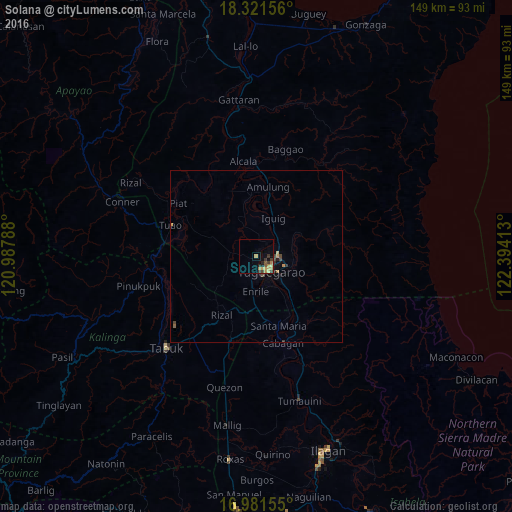

Analysis of Solana night lights 2016
Square area 10x10 km:
 0%
0%90-99
0%80-89
2.48%70-79
2.89%60-69
3.72%50-59
1.65%40-49
0.21%30-39
5.58%20-29
1.65%10-19
1.45%0-9
80.37%Square area 50x50 km:
0%90-99
0%80-89
0.13%70-79
0.21%60-69
0.18%50-59
0.1%40-49
0.19%30-39
0.25%20-29
0.15%10-19
0.13%0-9
98.66%Clear (daylight) street map image can be seen on geolist.org.
Map coordinates:
18° 19' 17.6" North, 120° 59' 16.4" East
17° 39' 10.1" North, 121° 41' 27.6" East
16° 58' 53.6" North, 122° 23' 38.9" East
Some cities around Solana sort by population:
• Tuguegarao
5.3 km =3.3 mi,  140°
140°
• Cabagan
26.4 km =16.4 mi,  161°
161°
• Nattapian
2.8 km =1.7 mi,  26°
26°
• Enrile
10.4 km =6.5 mi,  176°
176°
• Bauan
7.8 km =4.8 mi,  351°
351°
• Atulayan
1.4 km =0.9 mi,  12°
12°
• Dassun
10.5 km =6.5 mi, 11°
• Liwan
16.1 km =10 mi,  202°
202°
1685880 (p: 71,475)
Sources (retrieved 2019-11-25):
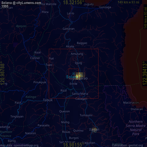
» NASA, Earths city lights 1995
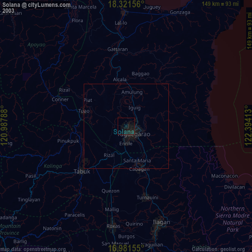
» NASA city lights 2003
» Earth at Night: Flat Maps 2012, 2016