Quezon night lights from space
Night Light of Quezon (Cagayan Valley) from space (Philippines) Src. Average luminocity for 10x10km area is 0% and for 50x50km: 0.2705%.
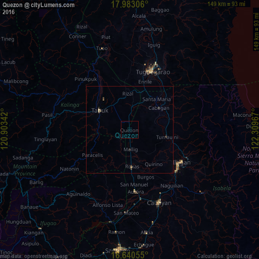
Analysis of Quezon night lights 2016
Square area 10x10 km:
 0%
0%90-99
0%80-89
0%70-79
0%60-69
0%50-59
0%40-49
0%30-39
0%20-29
0%10-19
0%0-9
100%Square area 50x50 km:
0%90-99
0%80-89
0.07%70-79
0.02%60-69
0%50-59
0.05%40-49
0.11%30-39
0.13%20-29
0.07%10-19
0.07%0-9
99.46%Clear (daylight) street map image can be seen on geolist.org.
Map coordinates:
17° 58' 59" North, 120° 54' 12.3" East
17° 18' 46.9" North, 121° 36' 23.5" East
16° 38' 26" North, 122° 18' 34.8" East
Some cities around Quezon sort by population:
• Tabuk
23.1 km =14.4 mi,  320°
320°
• Cabagan
21.5 km =13.4 mi,  53°
53°
• Roxas
21.6 km =13.4 mi,  176°
176°
• Enrile
29.1 km =18.1 mi,  19°
19°
• Burgos
26.9 km =16.7 mi,  157°
157°
• San Jose
18.1 km =11.2 mi, 182°
• Liwan
23.1 km =14.4 mi,  6°
6°
• Muñoz East
17.3 km =10.7 mi, 177°
1692196 (p: 9,485)
Sources (retrieved 2019-11-25):
» Earth at Night: Flat Maps 2012, 2016