Tuguegarao night lights from space
Night Light of Tuguegarao (Cagayan Valley) from space (Philippines) Src. Average luminocity for 10x10km area is 17.5227% and for 50x50km: 0.787%.
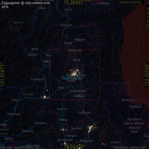
Analysis of Tuguegarao night lights 2016
Square area 10x10 km:
 0%
0%90-99
0%80-89
2.89%70-79
4.55%60-69
4.55%50-59
1.65%40-49
4.13%30-39
5.79%20-29
3.1%10-19
3.31%0-9
70.04%Square area 50x50 km:
0%90-99
0%80-89
0.13%70-79
0.18%60-69
0.18%50-59
0.06%40-49
0.16%30-39
0.27%20-29
0.15%10-19
0.13%0-9
98.74%Clear (daylight) street map image can be seen on geolist.org.
Map coordinates:
18° 17' 4.8" North, 121° 1' 11" East
17° 36' 56.8" North, 121° 43' 22.3" East
16° 56' 39.8" North, 122° 25' 33.5" East
Some cities around Tuguegarao sort by population:
• Solana
5.3 km =3.3 mi,  320°
320°
• Cabagan
21.5 km =13.4 mi,  166°
166°
• Nattapian
7 km =4.3 mi,  342°
342°
• Enrile
6.8 km =4.2 mi,  203°
203°
• Bauan
12.7 km =7.9 mi, 339°
• Atulayan
6.3 km =3.9 mi,  330°
330°
• Dassun
14.4 km =8.9 mi,  355°
355°
• Liwan
14.4 km =8.9 mi,  221°
221°
1680932 (p: 115,105)
Sources (retrieved 2019-11-25):
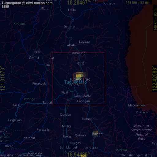
» NASA, Earths city lights 1995
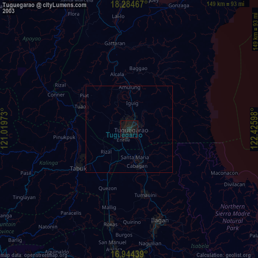
» NASA city lights 2003
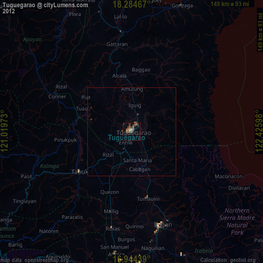
» Earth at Night: Flat Maps 2012, 2016