Tagbina night lights from space
Night Light of Tagbina (Caraga) from space (Philippines) Src. Average luminocity for 10x10km area is 0% and for 50x50km: 0.3003%.
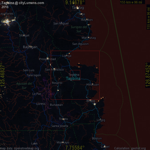
Analysis of Tagbina night lights 2016
Square area 10x10 km:
 0%
0%90-99
0%80-89
0%70-79
0%60-69
0%50-59
0%40-49
0%30-39
0%20-29
0%10-19
0%0-9
100%Square area 50x50 km:
0%90-99
0.02%80-89
0.05%70-79
0.05%60-69
0.03%50-59
0.15%40-49
0.03%30-39
0.08%20-29
0.12%10-19
0.05%0-9
99.43%Clear (daylight) street map image can be seen on geolist.org.
Map coordinates:
9° 8' 48.4" North, 125° 28' 5.8" East
8° 27' 7" North, 126° 10' 17" East
7° 45' 21" North, 126° 52' 28.3" East
Some cities around Tagbina sort by population:
• Bislig
30.8 km =19.1 mi,  148°
148°
• Bah-Bah
33.1 km =20.6 mi,  301°
301°
• San Francisco
26.1 km =16.2 mi,  290°
290°
• Bunawan
37.4 km =23.2 mi,  212°
212°
• Lianga
21.9 km =13.6 mi,  337°
337°
• Hinatuan
20 km =12.4 mi,  116°
116°
• Barobo
10.8 km =6.7 mi,  329°
329°
• Patin-ay
28 km =17.4 mi, 293°
1684491 (p: 10,672)
Sources (retrieved 2019-11-25):
» Earth at Night: Flat Maps 2012, 2016