Basco night lights from space
Night Light of Basco (Cagayan Valley) from space (Philippines) Src. Average luminocity for 10x10km area is 0.197% and for 50x50km: 0.0083%.
Analysis of Basco night lights 2016
Square area 10x10 km:
 0%
0%90-99
0%80-89
0%70-79
0%60-69
0%50-59
0%40-49
0%30-39
0%20-29
0.76%10-19
0%0-9
99.24%Square area 50x50 km:
0%90-99
0%80-89
0%70-79
0%60-69
0%50-59
0%40-49
0%30-39
0%20-29
0.03%10-19
0%0-9
99.97%Clear (daylight) street map image can be seen on geolist.org.
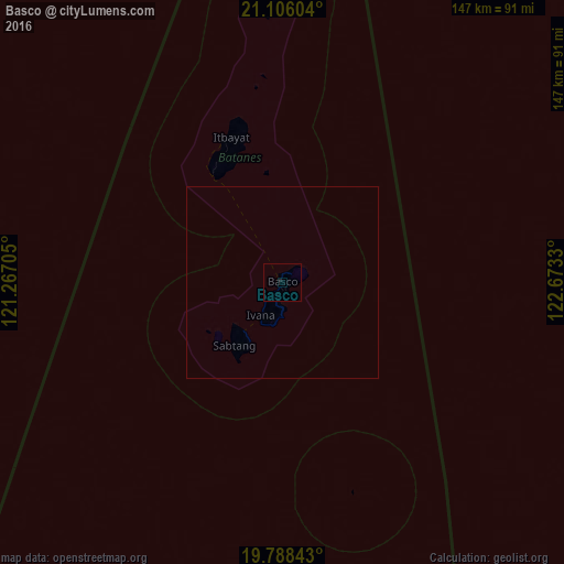
Map coordinates:
21° 6' 21.7" North, 121° 16' 1.4" East
20° 26' 55.1" North, 121° 58' 12.6" East
19° 47' 18.3" North, 122° 40' 23.9" East
Some cities around Basco sort by population:
• Aparri
235.2 km =146.1 mi,  188°
188°
• Hengchun, TW
214.6 km =133.3 mi,  323°
323°
• Magapit
258.9 km =160.9 mi, 187°
• Claveria
224.8 km =139.7 mi,  204°
204°
• Cabaritan East
231.4 km =143.8 mi, 192°
• Gonzaga
243.4 km =151.2 mi,  179°
179°
• Santa Ana
220.8 km =137.2 mi, 175°
• Ballesteros
231.4 km =143.8 mi, 191°
1726449 (p: 7,297)
Sources (retrieved 2019-11-25):
» Earth at Night: Flat Maps 2012, 2016