Irosin night lights from space
Night Light of Irosin (Bicol) from space (Philippines) Src. Average luminocity for 10x10km area is 0.6126% and for 50x50km: 0.2208%.
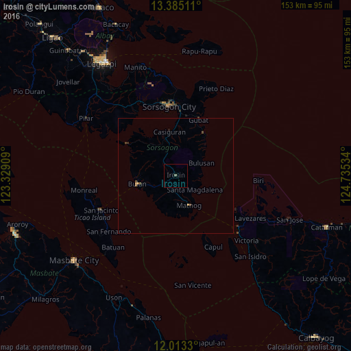
Analysis of Irosin night lights 2016
Square area 10x10 km:
 0%
0%90-99
0%80-89
0%70-79
0%60-69
0%50-59
0.87%40-49
0%30-39
0%20-29
0%10-19
0%0-9
99.13%Square area 50x50 km:
0%90-99
0%80-89
0%70-79
0.1%60-69
0.01%50-59
0.06%40-49
0.16%30-39
0.01%20-29
0.04%10-19
0.03%0-9
99.59%Clear (daylight) street map image can be seen on geolist.org.
Map coordinates:
13° 23' 6.4" North, 123° 19' 44.7" East
12° 42' 0.5" North, 124° 1' 56" East
12° 0' 47.9" North, 124° 44' 7.2" East
Some cities around Irosin sort by population:
• Sorsogon
30.7 km =19.1 mi,  352°
352°
• Bulan
17.4 km =10.8 mi,  259°
259°
• Gubat
26.4 km =16.4 mi,  21°
21°
• Casiguran
19.4 km =12.1 mi, 352°
• Rizal
33.4 km =20.8 mi,  337°
337°
• Allen
35.3 km =21.9 mi,  128°
128°
• Matnog
13.9 km =8.6 mi,  154°
154°
• Bulusan
11.1 km =6.9 mi,  60°
60°
1710531 (p: 20,716)
Sources (retrieved 2019-11-25):
» Earth at Night: Flat Maps 2012, 2016