San Juan Bautista night lights from space
Night Light of San Juan Bautista (Ica) from space (Peru) Src. Average luminocity for 10x10km area is 50.2771% and for 50x50km: 6.1881%.
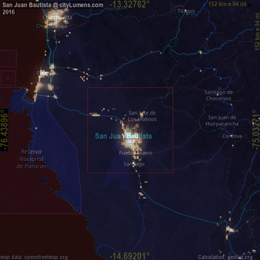
Analysis of San Juan Bautista night lights 2016
Square area 10x10 km:
 9.09%
9.09%90-99
12.77%80-89
2.16%70-79
9.96%60-69
4.76%50-59
7.58%40-49
6.71%30-39
10.17%20-29
12.77%10-19
19.05%0-9
4.98%Square area 50x50 km:
0.84%90-99
0.95%80-89
0.44%70-79
1.18%60-69
0.96%50-59
0.63%40-49
0.76%30-39
1.15%20-29
1.81%10-19
4.13%0-9
87.14%Clear (daylight) street map image can be seen on geolist.org.
Map coordinates:
13° 19' 39.4" South, 76° 26' 20.3" West
14° 0' 39" South, 75° 44' 9" West
14° 41' 31.2" South, 75° 1' 57.8" West
Some cities around San Juan Bautista sort by population:
• Ica
6.4 km =4 mi,  172°
172°
• Chincha Alta
79.4 km =49.3 mi,  327°
327°
• Pisco
60.7 km =37.7 mi,  303°
303°
• San Clemente
58.9 km =36.6 mi,  310°
310°
• Villa Tupac Amaru
55.7 km =34.6 mi, 306°
• Santiago
19.5 km =12.1 mi, 172°
• Subtanjalla
2.6 km =1.6 mi,  249°
249°
• Los Aquijes
10.7 km =6.6 mi,  153°
153°
3929493 (p: 6,871)
Sources (retrieved 2019-11-25):
» Earth at Night: Flat Maps 2012, 2016