Ica night lights from space
Night Light of Ica from space (Peru) Src. Average luminocity for 10x10km area is 76.119% and for 50x50km: 6.2291%.
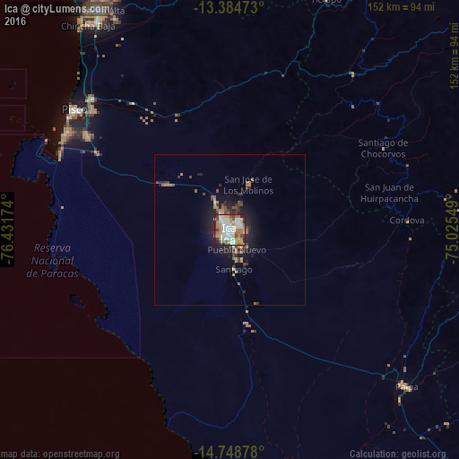
Analysis of Ica night lights 2016
Square area 10x10 km:
 21%
21%90-99
21.21%80-89
9.31%70-79
13.2%60-69
14.07%50-59
3.46%40-49
6.71%30-39
3.46%20-29
6.71%10-19
0.87%0-9
0%Square area 50x50 km:
0.84%90-99
0.95%80-89
0.44%70-79
1.18%60-69
0.96%50-59
0.66%40-49
0.76%30-39
1.18%20-29
1.84%10-19
4.13%0-9
87.04%Clear (daylight) street map image can be seen on geolist.org.
Map coordinates:
13° 23' 5" South, 76° 25' 54.3" West
14° 4' 4" South, 75° 43' 43" West
14° 44' 55.6" South, 75° 1' 31.8" West
Some cities around Ica sort by population:
• Pisco
65 km =40.4 mi,  307°
307°
• San Clemente
63.7 km =39.6 mi, 314°
• Villa Tupac Amaru
60.3 km =37.5 mi, 311°
• Santiago
13.1 km =8.1 mi,  171°
171°
• Subtanjalla
6.3 km =3.9 mi,  329°
329°
• Los Aquijes
5.2 km =3.2 mi,  128°
128°
• San Juan Bautista
6.4 km =4 mi,  352°
352°
• Palpa
78.1 km =48.5 mi, 131°
3938527 (p: 246,844)
Sources (retrieved 2019-11-25):
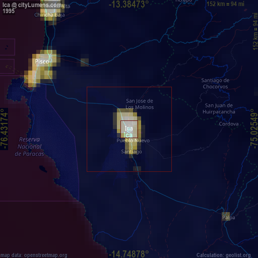
» NASA, Earths city lights 1995
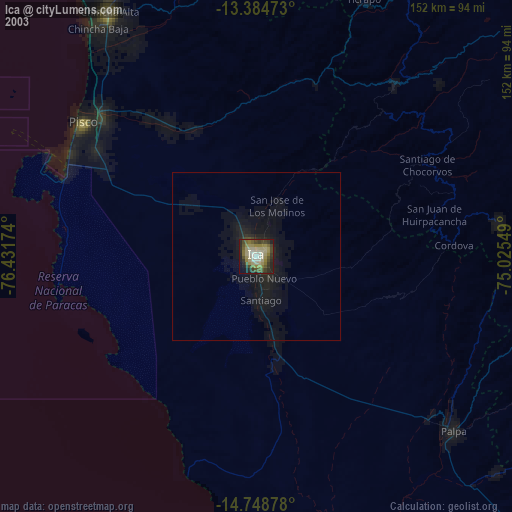
» NASA city lights 2003
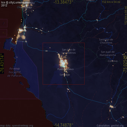
» Earth at Night: Flat Maps 2012, 2016