Huarmey night lights from space
Night Light of Huarmey (Ancash) from space (Peru) Src. Average luminocity for 10x10km area is 12.0393% and for 50x50km: 0.5734%.
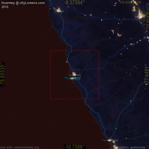
Analysis of Huarmey night lights 2016
Square area 10x10 km:
 0%
0%90-99
0%80-89
0%70-79
4.75%60-69
3.1%50-59
2.69%40-49
3.31%30-39
3.51%20-29
0.83%10-19
2.89%0-9
78.93%Square area 50x50 km:
0%90-99
0%80-89
0%70-79
0.21%60-69
0.14%50-59
0.11%40-49
0.13%30-39
0.18%20-29
0.1%10-19
0.12%0-9
99.01%Clear (daylight) street map image can be seen on geolist.org.
Map coordinates:
9° 22' 30.1" South, 78° 51' 19.3" West
10° 4' 5" South, 78° 9' 8" West
10° 45' 34.6" South, 77° 26' 56.8" West
Some cities around Huarmey sort by population:
• Huaraz
91 km =56.5 mi,  48°
48°
• Barranca
86.8 km =53.9 mi,  150°
150°
• Paramonga
75.1 km =46.7 mi, 152°
• Supe
94.3 km =58.6 mi, 149°
• Pativilca
81 km =50.3 mi, 150°
• Puerto Supe
93 km =57.8 mi, 151°
• Yungay
112.7 km =70 mi,  23°
23°
• Carhuaz
103.6 km =64.4 mi,  32°
32°
3939168 (p: 16,172)
Sources (retrieved 2019-11-25):
» Earth at Night: Flat Maps 2012, 2016