Las Cumbres night lights from space
Night Light of Las Cumbres (Panamá) from space (Panama) Src. Average luminocity for 10x10km area is 69.6494% and for 50x50km: 25.2218%.
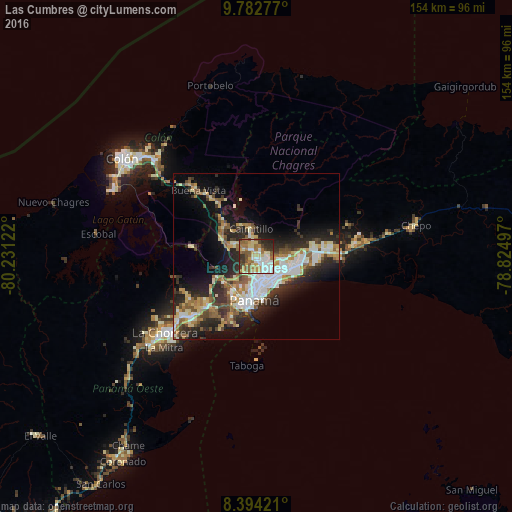

Analysis of Las Cumbres night lights 2016
Square area 10x10 km:
 12.55%
90-99
16.02%80-89
12.55%70-79
9.96%60-69
13.2%50-59
13.85%40-49
5.84%30-39
8.23%20-29
7.58%10-19
0.22%0-9
0%Square area 50x50 km:
4.72%90-99
4.64%80-89
3.11%70-79
2.79%60-69
3.36%50-59
3.86%40-49
2.8%30-39
4.37%20-29
7.9%10-19
10.98%0-9
51.49%Clear (daylight) street map image can be seen on geolist.org.
Map coordinates:
9° 46' 58" North, 80° 13' 52.4" West
9° 5' 21" North, 79° 31' 41.1" West
8° 23' 39.2" North, 78° 49' 29.9" West
Some cities around Las Cumbres sort by population:
• San Miguelito
7.6 km =4.7 mi,  124°
124°
• Juan Díaz
9.6 km =6 mi, 116°
• Parque Lefevre
9.4 km =5.8 mi,  148°
148°
• Río Abajo
8.6 km =5.3 mi,  159°
159°
• Alcalde Díaz
4.6 km =2.9 mi,  317°
317°
• La Cabima
3.4 km =2.1 mi,  344°
344°
• San Vicente
8.1 km =5 mi,  290°
290°
• Gonzalillo
1 km =0.6 mi,  72°
72°
3706567 (p: 69,102)
Sources (retrieved 2019-11-25):
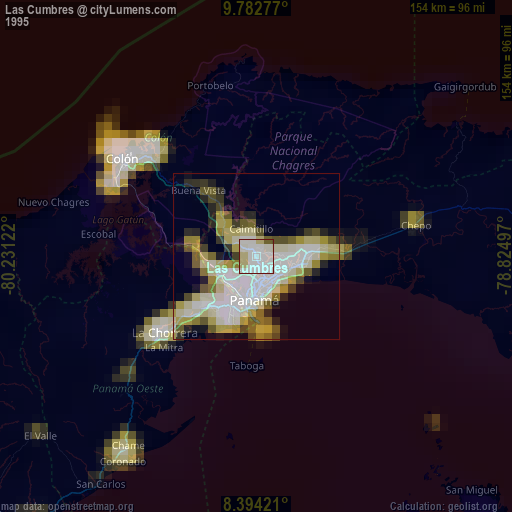
» NASA, Earths city lights 1995
» NASA city lights 2003
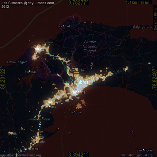
» Earth at Night: Flat Maps 2012, 2016