Seeb night lights from space
Night Light of Seeb (Muscat) from space (Oman) Src. Average luminocity for 10x10km area is 76.3889% and for 50x50km: 35.9279%.
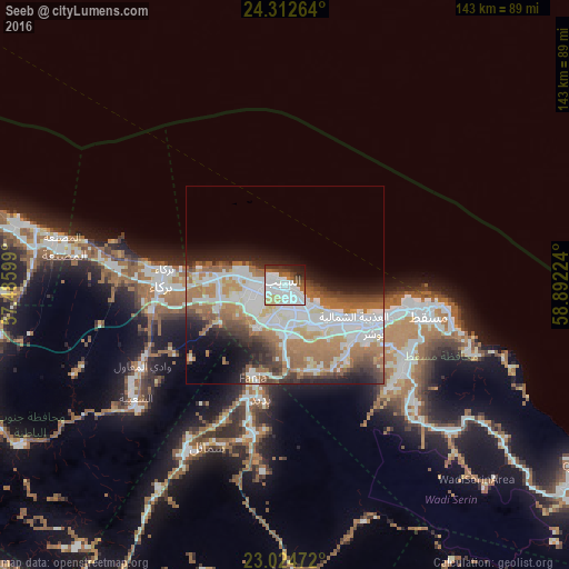
Analysis of Seeb night lights 2016
Square area 10x10 km:
 30.75%
90-99
25.2%80-89
7.34%70-79
1.19%60-69
5.36%50-59
6.55%40-49
5.75%30-39
5.16%20-29
8.53%10-19
4.17%0-9
0%Square area 50x50 km:
9.88%90-99
8.51%80-89
2.49%70-79
2.88%60-69
8.47%50-59
4.82%40-49
3.6%30-39
3.77%20-29
4.85%10-19
6.73%0-9
44%Clear (daylight) street map image can be seen on geolist.org.
Map coordinates:
24° 18' 45.5" North, 57° 29' 9.6" East
23° 40' 13" North, 58° 11' 20.8" East
23° 1' 29" North, 58° 53' 32.1" East
Some cities around Seeb sort by population:
• Muscat
24.2 km =15 mi,  113°
113°
• Bawshar
23.8 km =14.8 mi,  115°
115°
• As Suwayq
78.9 km =49 mi,  284°
284°
• Barkā’
30.9 km =19.2 mi,  271°
271°
• Sufālat Samā’il
43.1 km =26.8 mi,  204°
204°
• Oman Smart Future City
60.1 km =37.3 mi, 268°
• Bidbid
29.8 km =18.5 mi,  191°
191°
• Bayt al ‘Awābī
79.1 km =49.2 mi,  238°
238°
288967 (p: 237,816)
Sources (retrieved 2019-11-25):
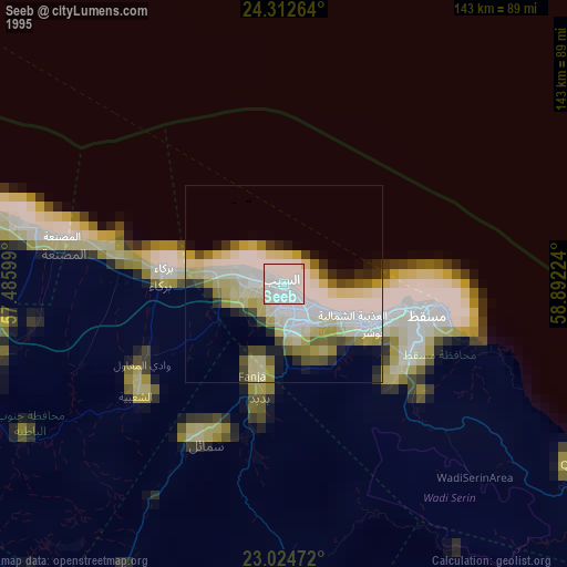
» NASA, Earths city lights 1995
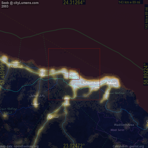
» NASA city lights 2003
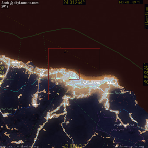
» Earth at Night: Flat Maps 2012, 2016