Bawshar night lights from space
Night Light of Bawshar (Muscat) from space (Oman) Src. Average luminocity for 10x10km area is 92.3452% and for 50x50km: 39.3364%.
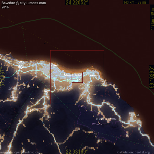
Analysis of Bawshar night lights 2016
Square area 10x10 km:
 50.2%
50.2%90-99
26.98%80-89
3.97%70-79
6.55%60-69
9.13%50-59
3.17%40-49
0%30-39
0%20-29
0%10-19
0%0-9
0%Square area 50x50 km:
10.45%90-99
8.66%80-89
2.56%70-79
3.58%60-69
9.27%50-59
5.48%40-49
4.17%30-39
4.46%20-29
5.53%10-19
10.06%0-9
35.77%Clear (daylight) street map image can be seen on geolist.org.
Map coordinates:
24° 13' 13.9" North, 57° 41' 48.1" East
23° 34' 39.7" North, 58° 23' 59.4" East
22° 55' 54.1" North, 59° 6' 10.6" East
Some cities around Bawshar sort by population:
• Muscat
1.1 km =0.7 mi,  48°
48°
• Seeb
23.8 km =14.8 mi,  295°
295°
• Barkā’
53.5 km =33.2 mi,  282°
282°
• Sufālat Samā’il
48.7 km =30.3 mi,  233°
233°
• Izkī
96.5 km =60 mi,  222°
222°
• Oman Smart Future City
82 km =51 mi, 275°
• Bidbid
33.5 km =20.8 mi,  235°
235°
• Bayt al ‘Awābī
94.4 km =58.7 mi,  251°
251°
288764 (p: 159,487)
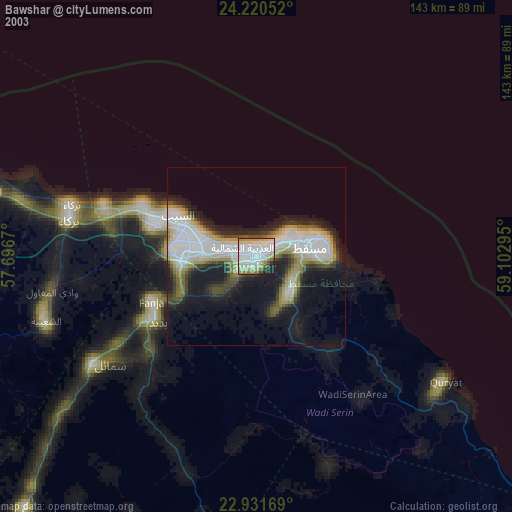
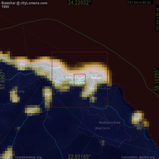
Sources (retrieved 2019-11-25):
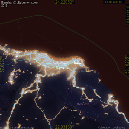
» NASA, Earths city lights 1995
» NASA city lights 2003
» Earth at Night: Flat Maps 2012, 2016