Lillestrøm night lights from space
Night Light of Lillestrøm (Akershus) from space (Norway) Src. Average luminocity for 10x10km area is 62.4935% and for 50x50km: 21.1663%.
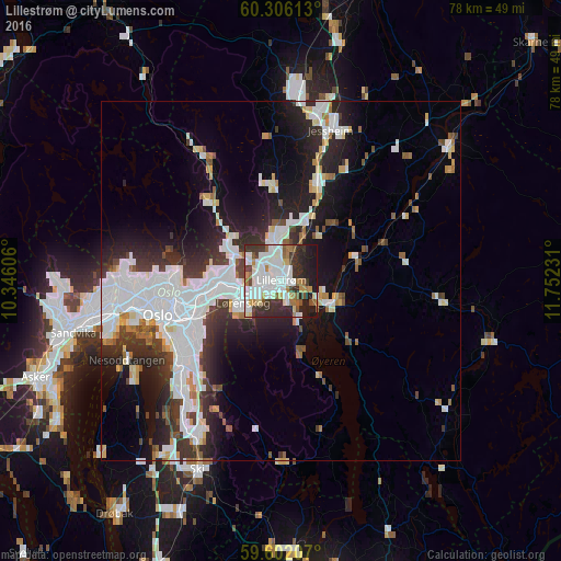
Analysis of Lillestrøm night lights 2016
Square area 10x10 km:
 19.37%
90-99
19.26%80-89
3.68%70-79
4.22%60-69
7.14%50-59
4.11%40-49
4.44%30-39
12.01%20-29
14.5%10-19
11.26%0-9
0%Square area 50x50 km:
6.52%90-99
5.3%80-89
1.48%70-79
1.15%60-69
1.46%50-59
1.4%40-49
1.64%30-39
3.34%20-29
5.98%10-19
9.77%0-9
61.98%Clear (daylight) street map image can be seen on geolist.org.
Map coordinates:
60° 18' 22.1" North, 10° 20' 45.8" East
59° 57' 21.5" North, 11° 2' 57" East
59° 36' 7.5" North, 11° 45' 8.3" East
Some cities around Lillestrøm sort by population:
• Oslo
17.6 km =10.9 mi,  254°
254°
• Ski
28.9 km =18 mi,  204°
204°
• Jessheim
21.8 km =13.5 mi,  18°
18°
• Nesoddtangen
23.9 km =14.9 mi,  244°
244°
• Råholt
36.2 km =22.5 mi,  11°
11°
• Ås
35.4 km =22 mi, 203°
• Fetsund
6.9 km =4.3 mi,  120°
120°
• Kløfta
14 km =8.7 mi, 20°
3147465 (p: 14,000)
Sources (retrieved 2019-11-25):
» Earth at Night: Flat Maps 2012, 2016