Hammerfest night lights from space
Night Light of Hammerfest (Finnmark) from space (Norway) Src. Average luminocity for 10x10km area is 13.9518% and for 50x50km: 0.6554%.
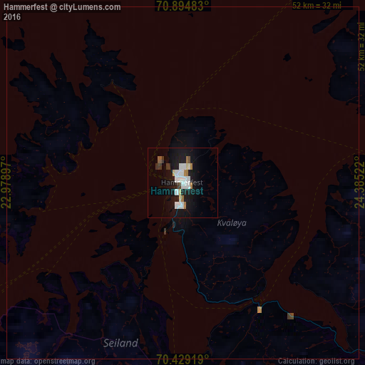
Analysis of Hammerfest night lights 2016
Square area 10x10 km:
 3.1%
3.1%90-99
3.99%80-89
0.9%70-79
0.14%60-69
1.79%50-59
0.55%40-49
0.55%30-39
1.58%20-29
0.96%10-19
17.91%0-9
68.53%Square area 50x50 km:
0.13%90-99
0.16%80-89
0.04%70-79
0.03%60-69
0.07%50-59
0.02%40-49
0.05%30-39
0.09%20-29
0.05%10-19
0.76%0-9
98.6%Clear (daylight) street map image can be seen on geolist.org.
Map coordinates:
70° 53' 41.4" North, 22° 58' 44.3" East
70° 39' 48.1" North, 23° 40' 55.5" East
70° 25' 45.1" North, 24° 23' 6.8" East
Some cities around Hammerfest sort by population:
• Tromsø
211 km =131.1 mi,  237°
237°
• Zapolyarnyy, RU
303.9 km =188.8 mi,  117°
117°
• Kiruna, SE
340.4 km =211.5 mi,  203°
203°
• Nikel, RU
284.3 km =176.7 mi, 119°
• Alta
78.7 km =48.9 mi,  191°
191°
• Inari, FI
233.8 km =145.3 mi,  146°
146°
• Kittilä, FI
336.8 km =209.3 mi,  171°
171°
• Vadsø
235.8 km =146.5 mi,  106°
106°
779683 (p: 6,788)
Sources (retrieved 2019-11-25):
» Earth at Night: Flat Maps 2012, 2016