Inari night lights from space
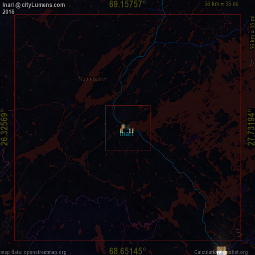
Night Light of Inari (Lapland) from space (Finland) Src. Average luminocity for 10x10km area is 1.2516% and for 50x50km: 0.0657%.
Analysis of Inari night lights 2016
Square area 10x10 km:
 0%
0%90-99
0%80-89
0%70-79
0.24%60-69
0.48%50-59
0.95%40-49
0.24%30-39
0%20-29
0%10-19
0%0-9
98.1%Square area 50x50 km:
0%90-99
0%80-89
0%70-79
0.01%60-69
0.02%50-59
0.04%40-49
0.01%30-39
0%20-29
0%10-19
0%0-9
99.93%Clear (daylight) street map image can be seen on geolist.org.
Map coordinates:
69° 9' 27.3" North, 26° 19' 32.5" East
68° 54' 21.5" North, 27° 1' 43.7" East
68° 39' 5.2" North, 27° 43' 55" East
Some cities around Inari sort by population:
• Kovdor, RU
205.8 km =127.9 mi,  136°
136°
• Zapolyarnyy, RU
160 km =99.4 mi,  69°
69°
• Nikel, RU
138.3 km =85.9 mi, 65°
• Alta, NO
188.4 km =117.1 mi,  308°
308°
• Sodankylä
166.5 km =103.5 mi,  186°
186°
• Pyhäjärvi
204.3 km =126.9 mi,  177°
177°
• Kittilä
163.6 km =101.7 mi,  212°
212°
• Vadsø, NO
167.6 km =104.1 mi,  39°
39°
656657 (p: 7,049)
Sources (retrieved 2019-11-25):
» Earth at Night: Flat Maps 2012, 2016