Hamar night lights from space
Night Light of Hamar (Hedmark) from space (Norway) Src. Average luminocity for 10x10km area is 39.8442% and for 50x50km: 5.9419%.

Analysis of Hamar night lights 2016
Square area 10x10 km:
 9.74%
9.74%90-99
10.28%80-89
4.11%70-79
3.57%60-69
4.87%50-59
2.71%40-49
0.65%30-39
1.95%20-29
16.56%10-19
25.97%0-9
19.59%Square area 50x50 km:
0.95%90-99
1.13%80-89
0.58%70-79
0.69%60-69
0.64%50-59
0.59%40-49
0.45%30-39
0.21%20-29
1.15%10-19
5.35%0-9
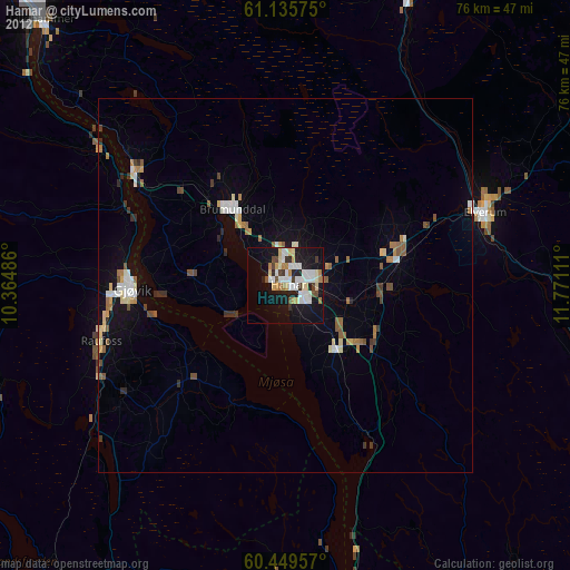
88.26%Clear (daylight) street map image can be seen on geolist.org.
Map coordinates:
61° 8' 8.7" North, 10° 21' 53.5" East
60° 47' 40.2" North, 11° 4' 4.7" East
60° 26' 58.5" North, 11° 46' 16" East
Some cities around Hamar sort by population:
• Lillehammer
48.2 km =30 mi,  317°
317°
• Gjøvik
20.4 km =12.7 mi,  270°
270°
• Elverum
28.5 km =17.7 mi,  70°
70°
• Jessheim
72.8 km =45.2 mi,  175°
175°
• Råholt
58.1 km =36.1 mi,  173°
173°
• Brumunddal
11.9 km =7.4 mi, 324°
• Raufoss
25.8 km =16 mi,  252°
252°
• Kløfta
80.2 km =49.8 mi, 177°
3154084 (p: 29,479)
Sources (retrieved 2019-11-25):
» Earth at Night: Flat Maps 2012, 2016