Wolvega night lights from space
Night Light of Wolvega (Friesland) from space (Netherlands) Src. Average luminocity for 10x10km area is 1.9104% and for 50x50km: 5.0347%.
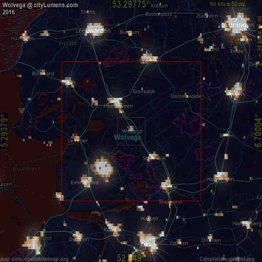
Analysis of Wolvega night lights 2016
Square area 10x10 km:
 0%
0%90-99
0%80-89
0%70-79
0%60-69
0.13%50-59
1.39%40-49
0.76%30-39
0.25%20-29
1.01%10-19
0%0-9
96.46%Square area 50x50 km:
0.62%90-99
0.91%80-89
0.33%70-79
0.56%60-69
0.73%50-59
0.62%40-49
0.75%30-39
0.56%20-29
0.62%10-19
3.65%0-9
90.64%Clear (daylight) street map image can be seen on geolist.org.
Map coordinates:
53° 17' 51.9" North, 5° 17' 37.6" East
52° 52' 31.6" North, 5° 59' 48.9" East
52° 26' 56.4" North, 6° 42' 0.1" East
Some cities around Wolvega sort by population:
• Heerenveen
10.7 km =6.6 mi,  330°
330°
• Meppel
24 km =14.9 mi,  146°
146°
• Steenwijk
12.8 km =8 mi,  139°
139°
• Joure
16.4 km =10.2 mi,  307°
307°
• Lemmer
19.6 km =12.2 mi,  260°
260°
• Oosterwolde
23.6 km =14.7 mi,  56°
56°
• De Greiden
10 km =6.2 mi, 325°
• Gorredijk
15.3 km =9.5 mi,  17°
17°
2744194 (p: 12,730)
Sources (retrieved 2019-11-25):
» Earth at Night: Flat Maps 2012, 2016