Roosendaal night lights from space
Night Light of Roosendaal (North Brabant) from space (Netherlands) Src. Average luminocity for 10x10km area is 37.4586% and for 50x50km: 20.3244%.
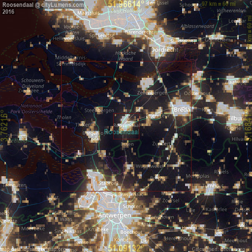
Analysis of Roosendaal night lights 2016
Square area 10x10 km:
 8.82%
8.82%90-99
9.63%80-89
2.54%70-79
1.74%60-69
3.88%50-59
2.01%40-49
2.41%30-39
3.88%20-29
14.71%10-19
39.71%0-9
10.7%Square area 50x50 km:
3.16%90-99
3.48%80-89
1.57%70-79
1.68%60-69
1.93%50-59
2.42%40-49
2.41%30-39
3.61%20-29
6.59%10-19
24.48%0-9
48.67%Clear (daylight) street map image can be seen on geolist.org.
Map coordinates:
51° 57' 58.1" North, 3° 45' 43.8" East
51° 31' 51" North, 4° 27' 55" East
51° 5' 28.8" North, 5° 10' 6.3" East
Some cities around Roosendaal sort by population:
• Bergen op Zoom
12.7 km =7.9 mi,  251°
251°
• Steenbergen
11.7 km =7.3 mi,  300°
300°
• Essen, BE
7 km =4.3 mi,  177°
177°
• Halsteren
13.7 km =8.5 mi,  268°
268°
• Sint Willebrord
8.8 km =5.5 mi,  77°
77°
• Zundert
14.7 km =9.1 mi,  116°
116°
• Oud Gastel
6.2 km =3.9 mi,  356°
356°
• Dinteloord
13.3 km =8.3 mi,  330°
330°
2747930 (p: 77,725)
Sources (retrieved 2019-11-25):
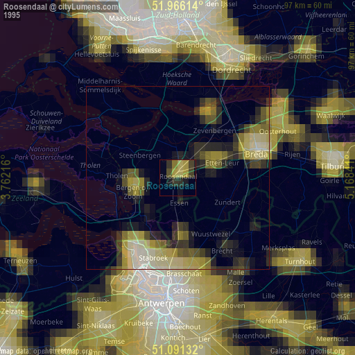
» NASA, Earths city lights 1995
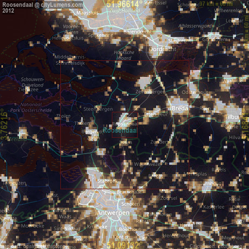
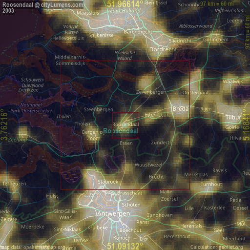
» NASA city lights 2003
» Earth at Night: Flat Maps 2012, 2016