Zundert night lights from space
Night Light of Zundert (North Brabant) from space (Netherlands) Src. Average luminocity for 10x10km area is 15.7045% and for 50x50km: 27.8778%.
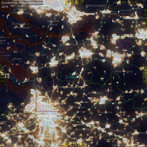
Analysis of Zundert night lights 2016
Square area 10x10 km:
 2.01%
2.01%90-99
2.67%80-89
1.34%70-79
0.4%60-69
0.67%50-59
1.07%40-49
2.54%30-39
2.01%20-29
0.67%10-19
31.02%0-9
55.61%Square area 50x50 km:
4.83%90-99
5.07%80-89
2.6%70-79
2.7%60-69
2.72%50-59
3.36%40-49
3.42%30-39
4.34%20-29
9.37%10-19
26.98%0-9
34.61%Clear (daylight) street map image can be seen on geolist.org.
Map coordinates:
51° 54' 27.2" North, 3° 57' 8.8" East
51° 28' 18" North, 4° 39' 20" East
51° 1' 53.7" North, 5° 21' 31.3" East
Some cities around Zundert sort by population:
• Brecht, BE
13.6 km =8.5 mi,  185°
185°
• Hoogstraten, BE
10.8 km =6.7 mi,  137°
137°
• Wuustwezel, BE
9.8 km =6.1 mi,  205°
205°
• Essen, BE
12.9 km =8 mi,  268°
268°
• Sint Willebrord
9.7 km =6 mi,  331°
331°
• Princenhage
13 km =8.1 mi,  26°
26°
• Ginneken
14.2 km =8.8 mi,  42°
42°
• Zandberg
14.4 km =8.9 mi, 38°
2743619 (p: 6,835)
Sources (retrieved 2019-11-25):
» Earth at Night: Flat Maps 2012, 2016