Reeuwijk night lights from space
Night Light of Reeuwijk (South Holland) from space (Netherlands) Src. Average luminocity for 10x10km area is 55.3308% and for 50x50km: 47.1726%.
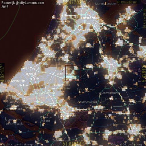
Analysis of Reeuwijk night lights 2016
Square area 10x10 km:
 14.39%
90-99
15.28%80-89
6.19%70-79
3.66%60-69
6.94%50-59
6.69%40-49
5.81%30-39
7.32%20-29
9.97%10-19
12.25%0-9
11.49%Square area 50x50 km:
15.8%90-99
12.14%80-89
3.24%70-79
3.81%60-69
4.83%50-59
4.13%40-49
4.8%30-39
5.61%20-29
8.18%10-19
11.02%0-9
26.43%Clear (daylight) street map image can be seen on geolist.org.
Map coordinates:
52° 28' 37.3" North, 4° 1' 18.7" East
52° 2' 48" North, 4° 43' 30" East
51° 36' 43.7" North, 5° 25' 41.2" East
Some cities around Reeuwijk sort by population:
• Gouda
3.5 km =2.2 mi,  198°
198°
• Alphen aan den Rijn
10.3 km =6.4 mi,  332°
332°
• Waddinxveen
5 km =3.1 mi,  267°
267°
• Bodegraven
4.3 km =2.7 mi,  23°
23°
• Boskoop
5.7 km =3.5 mi,  303°
303°
• Bloemendaal
2.9 km =1.8 mi,  226°
226°
• Oudewater
10.1 km =6.3 mi,  103°
103°
• Groenswaard
5.5 km =3.4 mi,  275°
275°
2748280 (p: 12,817)
Sources (retrieved 2019-11-25):
» Earth at Night: Flat Maps 2012, 2016