Bloemendaal night lights from space
Night Light of Bloemendaal (South Holland) from space (Netherlands) Src. Average luminocity for 10x10km area is 68.4015% and for 50x50km: 47.8025%.
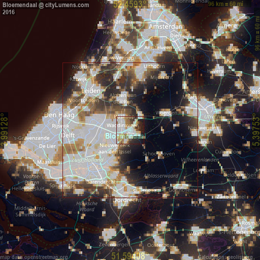
Analysis of Bloemendaal night lights 2016
Square area 10x10 km:
 19.95%
90-99
21.84%80-89
7.7%70-79
5.3%60-69
7.45%50-59
6.31%40-49
4.8%30-39
6.69%20-29
10.35%10-19
9.09%0-9
0.51%Square area 50x50 km:
16.25%90-99
12.22%80-89
3.4%70-79
3.82%60-69
4.85%50-59
4.08%40-49
4.83%30-39
5.61%20-29
8.16%10-19
11.14%0-9
25.64%Clear (daylight) street map image can be seen on geolist.org.
Map coordinates:
52° 27' 33.5" North, 3° 59' 28.6" East
52° 1' 43.6" North, 4° 41' 39.8" East
51° 35' 38.7" North, 5° 23' 51.1" East
Some cities around Bloemendaal sort by population:
• Gouda
1.6 km =1 mi,  144°
144°
• Alphen aan den Rijn
11.5 km =7.1 mi,  346°
346°
• Waddinxveen
3.5 km =2.2 mi,  301°
301°
• Bodegraven
7.1 km =4.4 mi,  32°
32°
• Boskoop
5.8 km =3.6 mi,  332°
332°
• Reeuwijk
2.9 km =1.8 mi,  46°
46°
• Bleiswijk
11.3 km =7 mi,  259°
259°
• Groenswaard
4.2 km =2.6 mi,  307°
307°
2758803 (p: 9,900)
Sources (retrieved 2019-11-25):
» Earth at Night: Flat Maps 2012, 2016