Barendrecht night lights from space
Night Light of Barendrecht (South Holland) from space (Netherlands) Src. Average luminocity for 10x10km area is 76.322% and for 50x50km: 46.0581%.
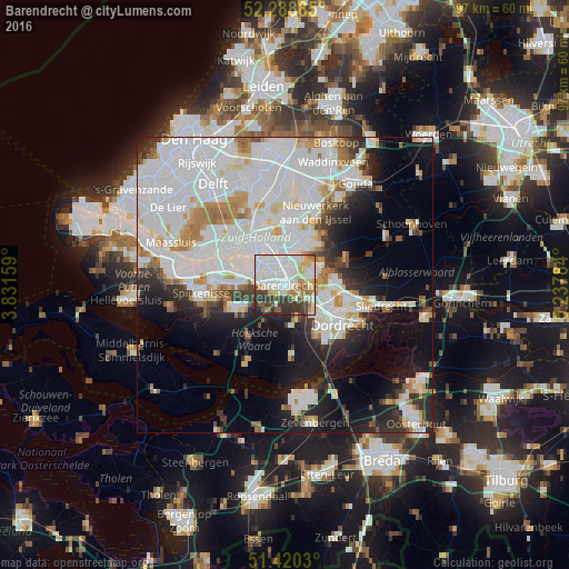
Analysis of Barendrecht night lights 2016
Square area 10x10 km:
 25.13%
90-99
24.62%80-89
9.85%70-79
6.06%60-69
5.81%50-59
4.8%40-49
5.68%30-39
12.25%20-29
5.56%10-19
0.25%0-9
0%Square area 50x50 km:
19.61%90-99
11.67%80-89
3.24%70-79
3.34%60-69
3.59%50-59
2.38%40-49
1.99%30-39
3.75%20-29
6.04%10-19
11.18%0-9
33.2%Clear (daylight) street map image can be seen on geolist.org.
Map coordinates:
52° 17' 19.9" North, 3° 49' 53.7" East
51° 51' 24" North, 4° 32' 5" East
51° 25' 13.1" North, 5° 14' 16.2" East
Some cities around Barendrecht sort by population:
• Ridderkerk
5 km =3.1 mi,  69°
69°
• Groot IJsselmonde
3.1 km =1.9 mi,  19°
19°
• Lombardijen
2.1 km =1.3 mi,  335°
335°
• Vreewijk
3.2 km =2 mi, 341°
• Bloemhof
5.1 km =3.2 mi,  331°
331°
• Zuidwijk
4 km =2.5 mi,  301°
301°
• Pendrecht
4.8 km =3 mi,  290°
290°
• Bolnes
5.2 km =3.2 mi,  35°
35°
2759426 (p: 38,672)
Sources (retrieved 2019-11-25):
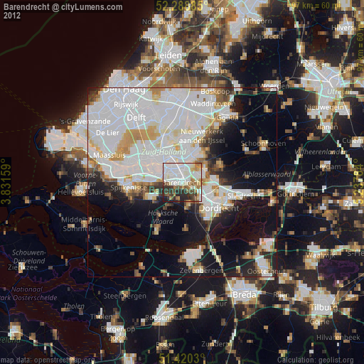
» Earth at Night: Flat Maps 2012, 2016