Losser night lights from space
Night Light of Losser (Overijssel) from space (Netherlands) Src. Average luminocity for 10x10km area is 15.7262% and for 50x50km: 9.0632%.
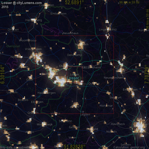
Analysis of Losser night lights 2016
Square area 10x10 km:
 0.93%
0.93%90-99
1.46%80-89
1.06%70-79
2.91%60-69
1.85%50-59
1.72%40-49
3.04%30-39
1.06%20-29
2.12%10-19
24.07%0-9
59.79%Square area 50x50 km:
1.19%90-99
1.32%80-89
0.88%70-79
0.94%60-69
1.17%50-59
1.24%40-49
1.39%30-39
1.14%20-29
2.48%10-19
6.97%0-9
81.27%Clear (daylight) street map image can be seen on geolist.org.
Map coordinates:
52° 41' 20.8" North, 6° 18' 3.7" East
52° 15' 39" North, 7° 0' 15" East
51° 49' 42.2" North, 7° 42' 26.2" East
Some cities around Losser sort by population:
• Enschede
8.8 km =5.5 mi,  237°
237°
• Hengelo
14.4 km =8.9 mi,  272°
272°
• Gronau, DE
5.7 km =3.5 mi,  167°
167°
• Oldenzaal
7.8 km =4.8 mi,  318°
318°
• Ochtrup, DE
13.9 km =8.6 mi,  114°
114°
• Bad Bentheim, DE
11.3 km =7 mi,  67°
67°
• Schüttorf, DE
16.3 km =10.1 mi, 65°
• Heek, DE
17.3 km =10.7 mi,  157°
157°
2751424 (p: 22,431)
Sources (retrieved 2019-11-25):
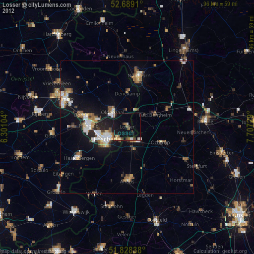
» Earth at Night: Flat Maps 2012, 2016