Kontagora night lights from space
Night Light of Kontagora (Niger) from space (Nigeria) Src. Average luminocity for 10x10km area is 4.1674% and for 50x50km: 0.1698%.
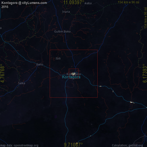
Analysis of Kontagora night lights 2016
Square area 10x10 km:
 0%
0%90-99
0%80-89
0%70-79
0%60-69
0.83%50-59
1.03%40-49
2.07%30-39
3.1%20-29
2.07%10-19
0.83%0-9
90.08%Square area 50x50 km:
0%90-99
0%80-89
0%70-79
0%60-69
0.03%50-59
0.04%40-49
0.08%30-39
0.13%20-29
0.08%10-19
0.03%0-9
99.6%Clear (daylight) street map image can be seen on geolist.org.
Map coordinates:
11° 5' 38.3" North, 4° 46' 3.6" East
10° 24' 11.5" North, 5° 28' 14.9" East
9° 42' 39.1" North, 6° 10' 26.1" East
Some cities around Kontagora sort by population:
• Zungeru
99.8 km =62 mi,  131°
131°
• Tegina
87 km =54.1 mi,  115°
115°
• Rijau
81.4 km =50.6 mi,  343°
343°
• Ibeto
36.8 km =22.9 mi,  284°
284°
• Bin Yauri
83.5 km =51.9 mi,  300°
300°
• Auna
85.2 km =52.9 mi,  253°
253°
• Kusheriki
107.2 km =66.6 mi,  82°
82°
• Ukata
61.3 km =38.1 mi,  39°
39°
2334008 (p: 98,754)
Sources (retrieved 2019-11-25):
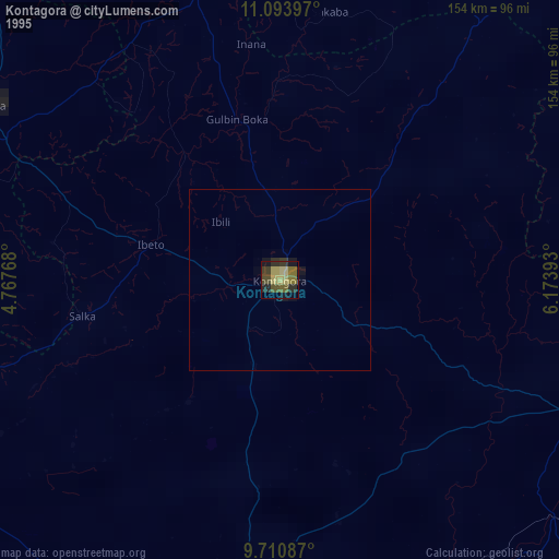
» NASA, Earths city lights 1995
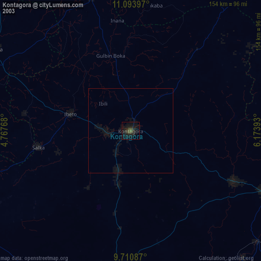
» NASA city lights 2003
» Earth at Night: Flat Maps 2012, 2016