Samamiya night lights from space
Night Light of Samamiya (Jigawa) from space (Nigeria) Src. Average luminocity for 10x10km area is 0.0152% and for 50x50km: 0.4538%.
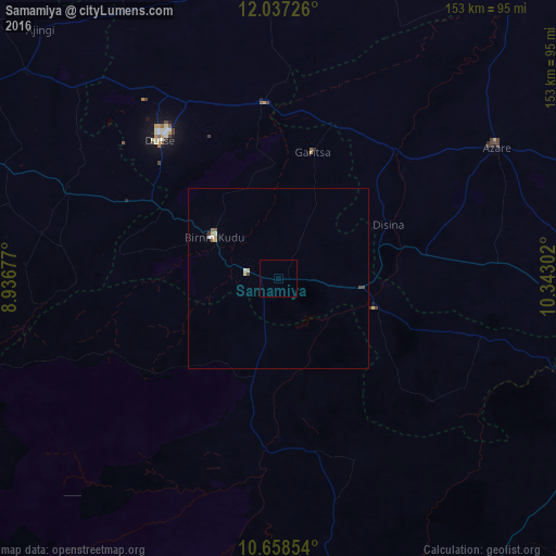
Analysis of Samamiya night lights 2016
Square area 10x10 km:
 0%
0%90-99
0%80-89
0%70-79
0%60-69
0%50-59
0%40-49
0%30-39
0%20-29
0%10-19
0%0-9
100%Square area 50x50 km:
0.03%90-99
0.09%80-89
0.12%70-79
0.06%60-69
0.03%50-59
0.06%40-49
0.1%30-39
0.04%20-29
0%10-19
0%0-9
99.46%Clear (daylight) street map image can be seen on geolist.org.
Map coordinates:
12° 2' 14.1" North, 8° 56' 12.4" East
11° 20' 55.4" North, 9° 38' 23.6" East
10° 39' 30.7" North, 10° 20' 34.9" East
Some cities around Samamiya sort by population:
• Azare
70.1 km =43.6 mi,  58°
58°
• Birnin Kudu
21 km =13 mi,  303°
303°
• Kiyawa
48.6 km =30.2 mi,  355°
355°
• Dutse
55.9 km =34.7 mi,  324°
324°
• Gwaram
27.8 km =17.3 mi,  106°
106°
• Takai
63.1 km =39.2 mi,  293°
293°
• Zadawa
80.1 km =49.8 mi,  81°
81°
• Disina
33.8 km =21 mi, 64°
2323858 (p: 8,087)
Sources (retrieved 2019-11-25):
» Earth at Night: Flat Maps 2012, 2016