Nsukka night lights from space
Night Light of Nsukka (Enugu) from space (Nigeria) Src. Average luminocity for 10x10km area is 2.9437% and for 50x50km: 0.1177%.
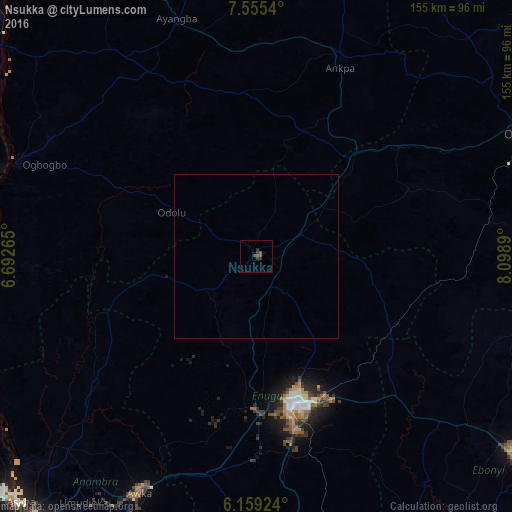
Analysis of Nsukka night lights 2016
Square area 10x10 km:
 0%
0%90-99
0%80-89
0%70-79
0%60-69
0%50-59
0.87%40-49
2.6%30-39
2.6%20-29
0.87%10-19
0%0-9
93.07%Square area 50x50 km:
0%90-99
0%80-89
0%70-79
0%60-69
0%50-59
0.03%40-49
0.1%30-39
0.1%20-29
0.03%10-19
0%0-9
99.72%Clear (daylight) street map image can be seen on geolist.org.
Map coordinates:
7° 33' 19.4" North, 6° 41' 33.5" East
6° 51' 28.2" North, 7° 23' 44.8" East
6° 9' 33.3" North, 8° 5' 56" East
Some cities around Nsukka sort by population:
• Aku
18.6 km =11.6 mi,  207°
207°
• Otukpa
39.8 km =24.7 mi,  47°
47°
• Enugu-Ezike
15.4 km =9.6 mi,  25°
25°
• Opi
9.4 km =5.8 mi,  153°
153°
• Ete
26.5 km =16.5 mi,  13°
13°
• Adoru
28.9 km =18 mi,  297°
297°
• Ikem
36.3 km =22.6 mi,  103°
103°
• Obolo-Eke (1)
26.4 km =16.4 mi,  83°
83°
2328684 (p: 111,017)
Sources (retrieved 2019-11-25):
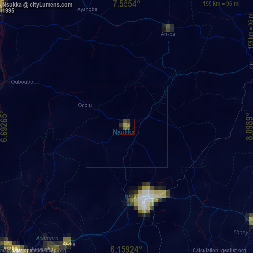
» NASA, Earths city lights 1995
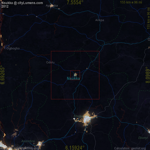
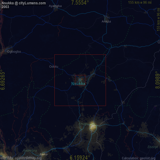
» NASA city lights 2003
» Earth at Night: Flat Maps 2012, 2016