Gaya night lights from space
Night Light of Gaya (Kano) from space (Nigeria) Src. Average luminocity for 10x10km area is 0% and for 50x50km: 0.0165%.
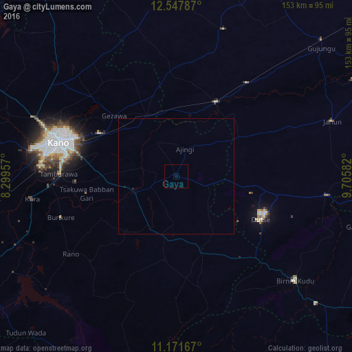
Analysis of Gaya night lights 2016
Square area 10x10 km:
100  0%
0%
90-99 0%
80-89 0%
70-79 0%
60-69 0%
50-59 0%
40-49 0%
30-39 0%
20-29 0%
10-19 0%
0-9 100%
0%90-99
0%80-89
0%70-79
0%60-69
0%50-59
0%40-49
0%30-39
0%20-29
0%10-19
0%0-9
100%Square area 50x50 km:
100 0%
90-99 0%
80-89 0%
70-79 0%
60-69 0%
50-59 0%
40-49 0%
30-39 0%
20-29 0.03%
10-19 0.03%
0-9 99.93%
0%90-99
0%80-89
0%70-79
0%60-69
0%50-59
0%40-49
0%30-39
0%20-29
0.03%10-19
0.03%0-9
99.93%Clear (daylight) street map image can be seen on geolist.org.
Map coordinates:
12° 32' 52.3" North, 8° 17' 58.5" East
11° 51' 38.3" North, 9° 0' 9.7" East
11° 10' 18" North, 9° 42' 21" East
Some cities around Gaya sort by population:
• Kano
55.1 km =34.2 mi,  286°
286°
• Wudil
18.2 km =11.3 mi,  251°
251°
• Rano
57 km =35.4 mi,  233°
233°
• Dutse
38.4 km =23.9 mi,  107°
107°
• Ringim
36.7 km =22.8 mi,  28°
28°
• Burumburum
60.4 km =37.5 mi,  210°
210°
• Takai
33.7 km =20.9 mi,  159°
159°
• Kibiya
52.5 km =32.6 mi, 225°
2341580 (p: 20,959)
Sources (retrieved 2019-11-25):
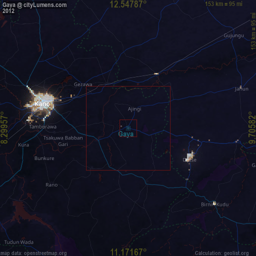
» Earth at Night: Flat Maps 2012, 2016