Burumburum night lights from space
Night Light of Burumburum (Kaduna) from space (Nigeria) Src. Average luminocity for 10x10km area is 0% and for 50x50km: 0%.
Analysis of Burumburum night lights 2016
Square area 10x10 km:
100  0%
0%
90-99 0%
80-89 0%
70-79 0%
60-69 0%
50-59 0%
40-49 0%
30-39 0%
20-29 0%
10-19 0%
0-9 100%
0%90-99
0%80-89
0%70-79
0%60-69
0%50-59
0%40-49
0%30-39
0%20-29
0%10-19
0%0-9
100%Square area 50x50 km:
100 0%
90-99 0%
80-89 0%
70-79 0%
60-69 0%
50-59 0%
40-49 0%
30-39 0%
20-29 0%
10-19 0%
0-9 100%
0%90-99
0%80-89
0%70-79
0%60-69
0%50-59
0%40-49
0%30-39
0%20-29
0%10-19
0%0-9
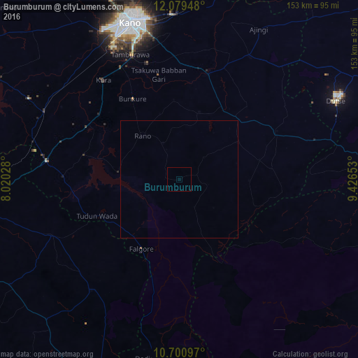
100%Clear (daylight) street map image can be seen on geolist.org.
Map coordinates:
12° 4' 46.1" North, 8° 1' 13" East
11° 23' 27.8" North, 8° 43' 24.3" East
10° 42' 3.5" North, 9° 25' 35.5" East
Some cities around Burumburum sort by population:
• Wudil
48.3 km =30 mi,  15°
15°
• Gaya
60.4 km =37.5 mi,  30°
30°
• Rano
24.1 km =15 mi,  319°
319°
• Anchau
59.8 km =37.2 mi,  217°
217°
• Bebeji
58.9 km =36.6 mi,  301°
301°
• Takai
46.7 km =29 mi,  63°
63°
• Kura
53.3 km =33.1 mi, 322°
• Kibiya
16.7 km =10.4 mi,  335°
335°
2346322 (p: 11,689)
Sources (retrieved 2019-11-25):
» Earth at Night: Flat Maps 2012, 2016